GFS vs. NAM, etc.
Interesting that the NAM has such a large gradient in its total predicted snowfall. If I’m reading it right, there will be almost no snow accumulation in Jasper, but 2.5″ in Hoover and 5″ in Jemison. OK…that may occur. But, I wouldn’t count out something, at least 1″, in places like Jasper, Fayette, Cullman, and Vernon.
The NAM has been all over the place with accumulations in a given spot, but consistent with its large gradient. Its snow output for BHM for the past 5 runs has been 6.3″, 2.6″, 1.8″, 4.7″, and now 1.0″. Hmm. The GFS ha shown 1″, 0.5″, 2″, 1.5″, and 2″. The GFS has less of a gradient, showing 2.5″ in Hoover and 1″ in Cullman. Maybe the NAM will be right, but I wouldn’t give up hope to the north of the advisory area yet. The SREF, a blend of many models, also shows a more gradual decrease from south to north. I still think the NWS has done a good job pinpointing the areas of maximum accumulation.
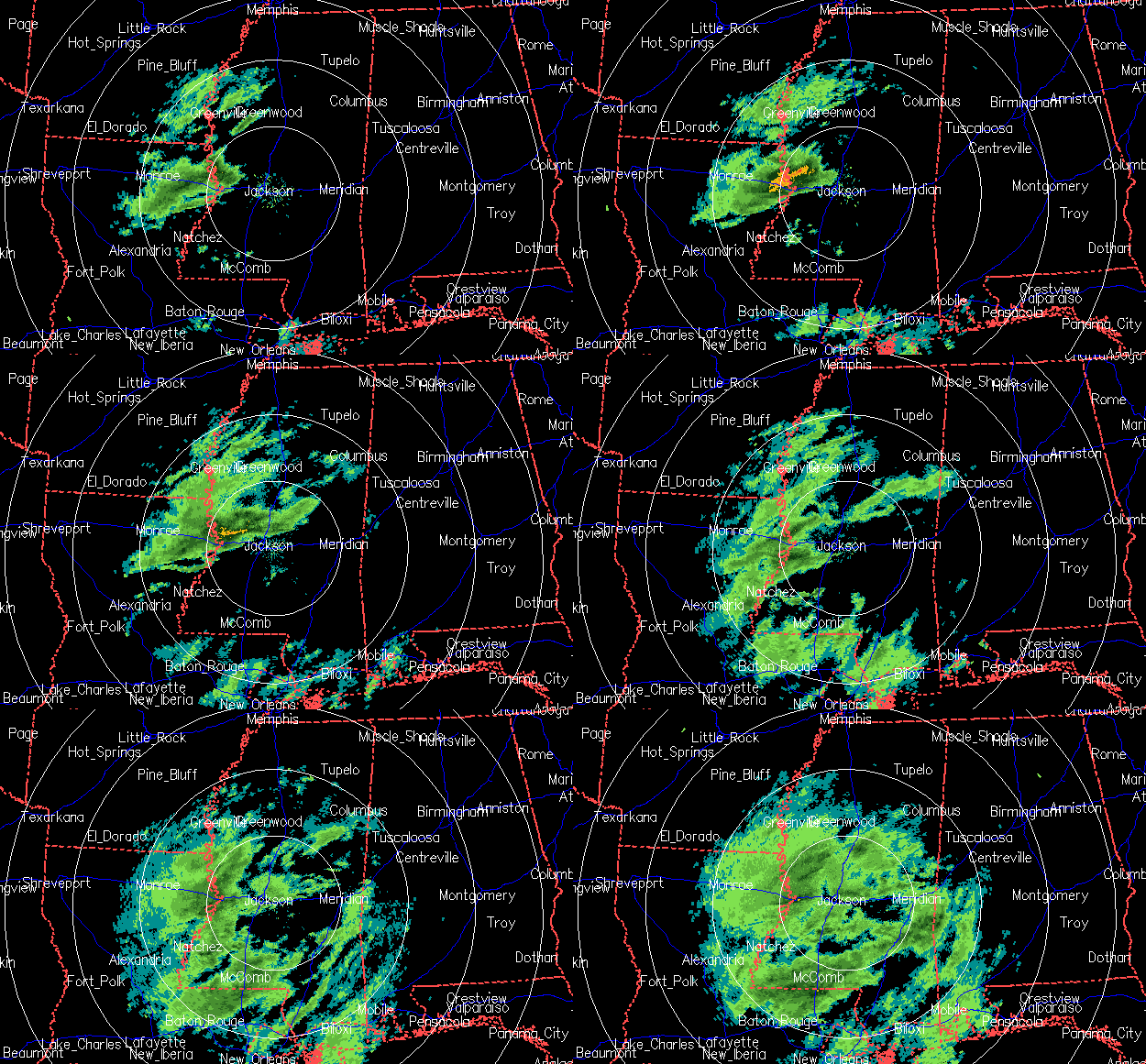
Latest radar loop from Jackson:

Some drier air may be trying to work in from the north, but the upper jet is still NE of us, and echoes up to 25 dBZ are starting to show up in northern MS, moving NE.
Category: Uncategorized


