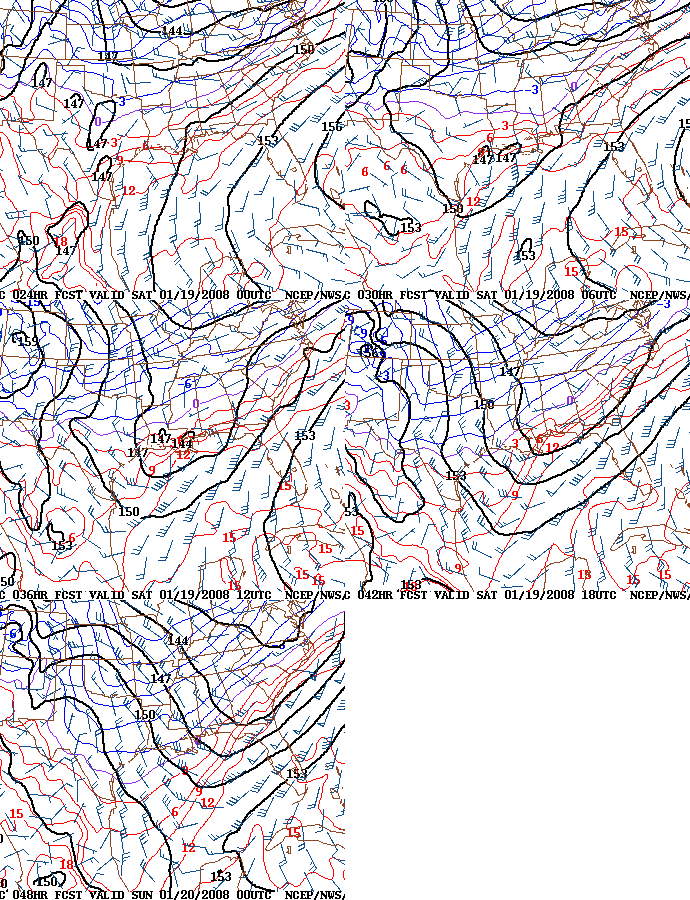
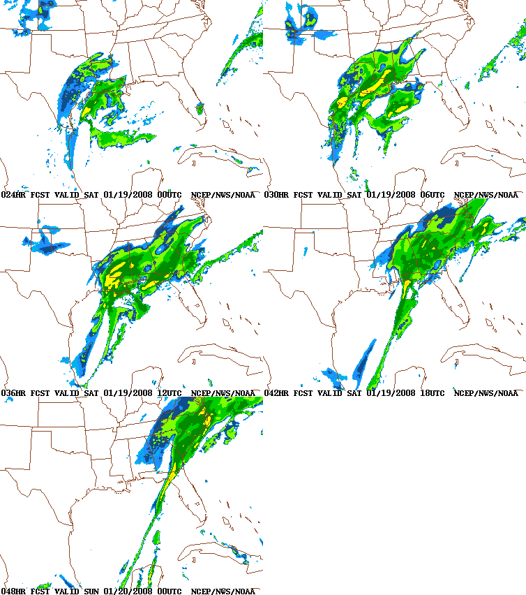
00 UTC NAM – Still big
The 00 UTC NAM, with new upper-air data, is in through 48 hrs (Saturday afternoon). It shows the system developing a little slower, with snow continuing for much of the day on Saturday. I’ll have a more complete post with other models by around 100 am, for night owls.
Here is a loop of NAM 850 mb temps, from 00 UTC Saturday through 00 UTC Sunday.

Here is a loop of NAM radar.

Here is NAM total water equivalent precipitation for the event.
It still implies snow amounts up to 5-10″, with a maximum somewhere just south of BHM. If this model is right, then whoa!
Category: Uncategorized


