Summer now official, neat pictures
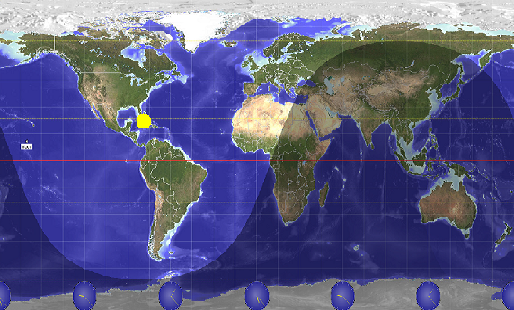
(Geochron-style image of sun’s illumination of earth today at noon CDT, from Sun Clock software by mapmaker.com)
Summer officially arrived at 1716 GMT (12:16 pm CDT) on Tuesday of this week, when the tilt of the earth on its axis, relative to the sun, caused the sun to shine directly overhead at the tropic in the Northern Hemisphere. Tuesday was the longest day of the year, and the one with the most direct sunlight and sun energy coming in.
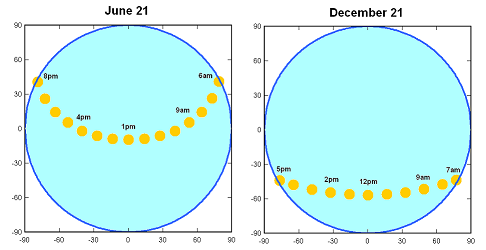
The progression of the sun across the sky is very different in Summer than it is in Winter. In Summer, since the Northern Hemisphere is tilted toward the sun, the sun is further north in the sky, rises in the NE, and sets in the NW. In Winter, the sun is further south in the sky, and rises in the SE/sets in the SW. See the two graphs below for the sun’s position in the sky at BHM, by hour, on June 21 and December 21 (north is up, directly overhead is in the middle).
The chart above shows the longer day and higher sun angle in Summer. Notice also that the sun spends more time near the horizon (blue line) in the summer. This is why low light and twilight lasts so much longer, as opposed to the quick sunset in the winter.
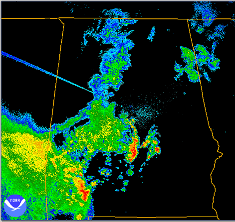
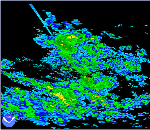
Since the sun produces some radiation at the same wavelength as the weather radars, when the sun rises and sets, the radar often picks up light return along the direction of sunrise/set. Check out the radar image from the BMX NWS radar from near sunset on June 21.
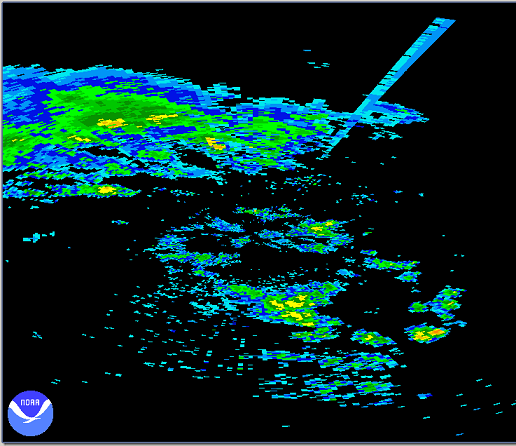
Now, check out the even more extreme angles of sunrise and sunset on the radar at Fairbanks, Alaska, on Tuesday (the sunrise was at 421 am and the sunset was at 1143 pm).
Category: Met 101/Weather History

