Warning Canceled
The NWS has canceled the severe thunderstorm warning for West Alabama. The storms that prompted the warning are now passing near and north of Fayette and have weakened a bit.
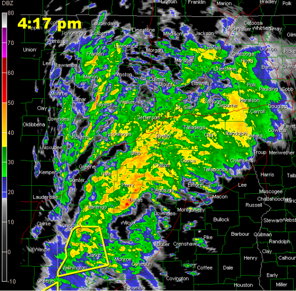
Here is the radar at 4:17.
It is pouring to beat the band across much of the area, especially from the Birmingham metro down through Bibb, Perry, Chilton and Dallas Counties.
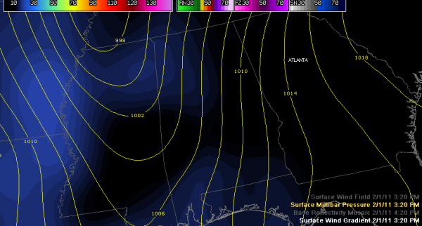
In addition, strong gradient winds are developing. Look at this map of the current surface wind field.
Winds are averaging 20-30 mph now, gusting to 35 mph or more even with no thunderstorms involved this afternoon.
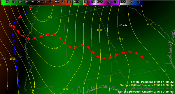
The main chance for severe weather remains to the south, where instability are a little better. On this graphic, the warm front delineates the northern extent of the best chances for severe weather through the afternoon. A strong easterly flow out of Georgia has kept Northeast Alabama dewpoints near 50F. The northward moving warm front has had a hard time edging to the northeast.
Category: Alabama's Weather


