Snow analysis – 945 am
**SEE JAMES’ UPDATED SNOW FORECASTS BELOW THIS POST**
**WINTER STORM WARNINGS WILL BE ISSUED BY NWS TODAY, LIKELY INCLUDING BIRMINGHAM**
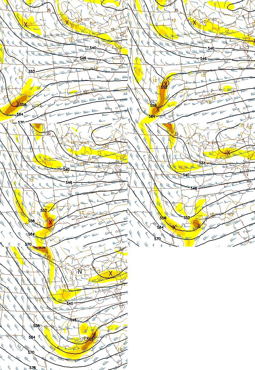
The 12 UTC NAM and GFS models are already in through Friday evening, and show a secondary upper-level disturbance forming over north Texas today, and that upper-level divergence will develop over central Alabama tonight, in response to flow from the upper-level disturbance in MS to a small upper-level ridge in Alabama (see explanation in afternoon blog). When the air diverges aloft, air has to move upwards from below to replace it, creating clouds and precipitation.
If these models are correct, this would mean snow would start earlier than originally anticipated in TCL and BHM…before sunrise. These new models show snow accumulations of 2-4″ in the BHM area, especially south of town, with at least 1″ as far north as Jasper and Oneonta. Snowfall amounts could approach 6″ in parts of south Alabama.
It also looks like the air will be cold enough for snow tomorrow morning as far south as Grove Hill, Opp, and Troy, and the rain/snow will move southward during the day as the cold air is pulled south by the Gulf low, and melting of snow aloft will slowly lower temperatures also.
For your meteorological consulting needs, contact Coleman and Peters, LLC, at (205) 568-4401, or colemanpetersllc.com. We help attorneys and insurance adjusters with weather analysis in their cases.
Category: Uncategorized


