White Christmas Update
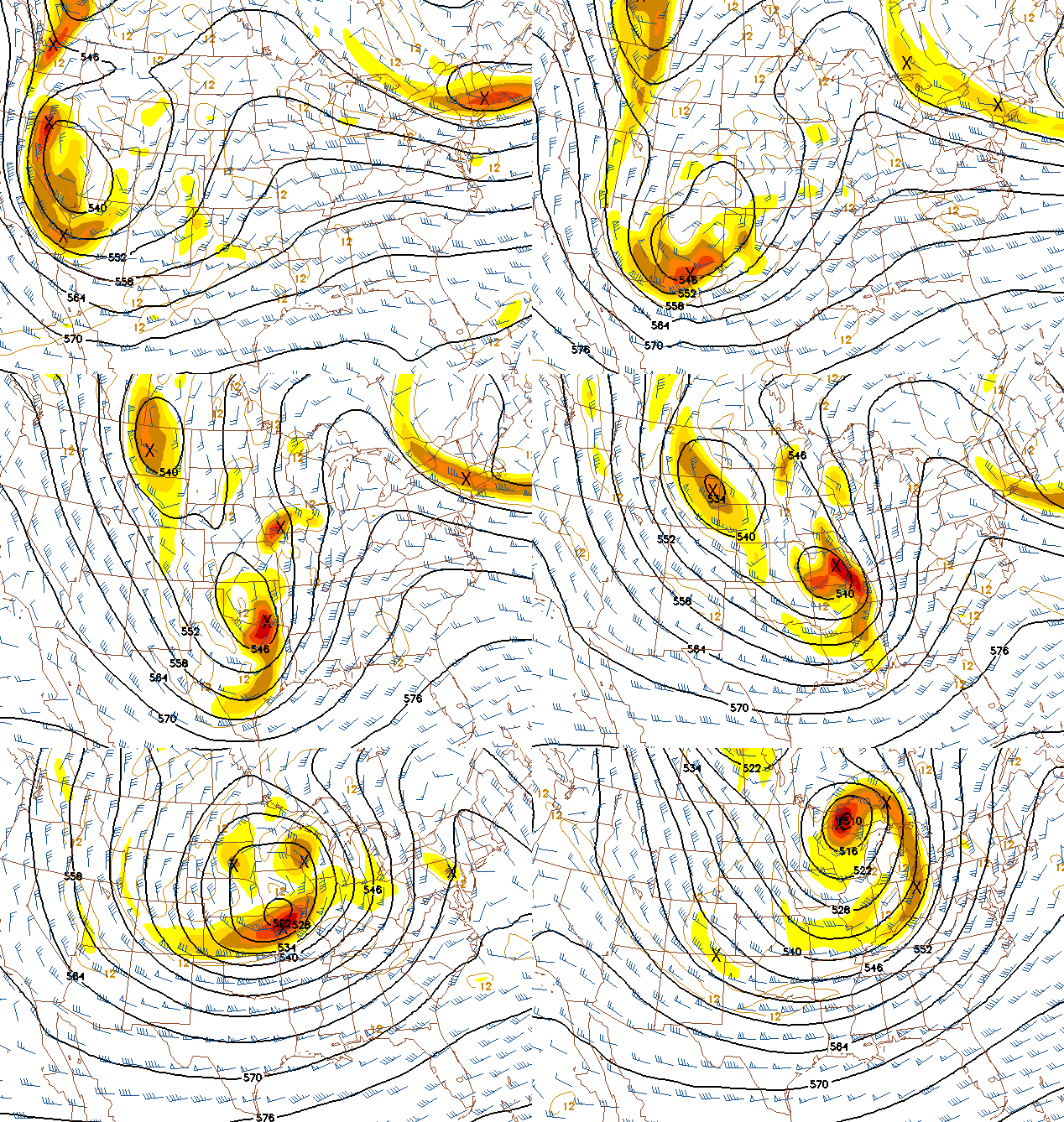
All three major models have trended northward with the big system moving through the central U.S. this week, basically eliminating our snow chances for Christmas. I know, I’m sorry too.

500 mb heights/vorticity (shaded areas illustrate upper disturbances)
We may see thunderstorms on Christmas Eve, much like last year. We had tornado warnings and two confirmed tornadoes that day. Hopefully, that won’t happen again. It looks like the air may be a little too dry and stable this far north for widespread severe weather, with the larger threat to our SW. However, low-level winds will be strong, so we could see a few storms with heavy rain on Thursday and Thursday night, and some of those could be severe, with the main threat being damaging winds.
It will turn colder on Christmas Day, and with temperatures near 40 or close enough, we could see a few snow flurries. However, with the main upper-level energy so far north, and cold air coming in as the day goes on (as cold air comes in, it tends to cause downward motion, the opposite of what we need for snow), any flurries would be light and not accumulate. The best hope for any snow at all is on the Canadian model.
Unless there is a dramatic shift in the models, Christmas will pass by again without snow in Alabama. However, we have a pretty nice trade-off…we typically don’t see temperatures below 10 degrees here in the Southeast, and our season of being able to do things outdoors consistently in comfort lasts about 7 months, compared to about 4 or 5 up north. I’ll take Alabama over Minnesota or Wisconsin any day of the week.
Chance of White Christmas: 1%.
Category: Uncategorized


