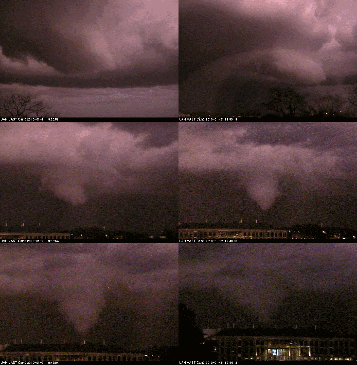
Time lapse of tornado photos
This is a time lapse of videos taken from VAST camera 0, a light-enhanced camera on the east side of NSSTC, the building where the UAH Atmospheric Science Department is located. The first picture is SE toward I-565 and Sparkman Drive. Notice how the mesocyclone organizes as it moves along I-565, and eventually the funnel cloud tightens and a tornado touches down east of NSSTC. The final picture is looking ENE, over The Shelby Center.
For a still picture in color of the entire storm, see https://www.alabamawx.com/?p=26218.
Category: Met 101/Weather History


Comments (1)
Trackback URL | Comments RSS Feed
Sites That Link to this Post