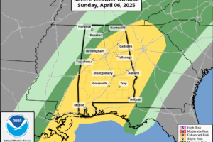
Soaked and Stormy Sunday: Severe Weather, Flooding, and a Chill Behind
A powerful storm system brings severe weather and flooding to Alabama today, followed by a sharp cooldown and the potential for frost by midweek.

A powerful storm system brings severe weather and flooding to Alabama today, followed by a sharp cooldown and the potential for frost by midweek.
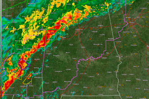
Flash flooding is widespread across northern Alabama, and a line of storms moving in from Mississippi will continue to pose a threat of damaging winds and brief tornadoes through the morning.
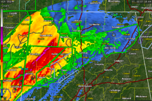
Flash flood warnings remain in effect early this morning for parts of north and central Alabama, where multiple rounds of heavy rain have led to dangerous flooding in low-lying and poor drainage areas.
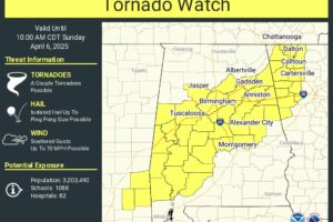
The tornado watch goes until 10 am.
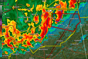
Severe thunderstorms were located along a line extending from near Henagar to near Geraldine to near Strawberry, moving east at 20 mph.
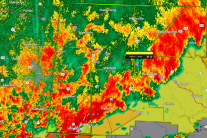
Doppler radar indicated thunderstorms producing heavy rain across the warned area. Between 1.5 and 2.5 inches of rain have fallen. Additional rainfall amounts of 1 to 2 inches are possible in the warned area. Flash flooding is ongoing or expected to begin shortly.
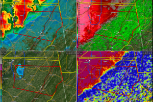
This dangerous storm will be near…Sylvania, Powell, and Rainsville around 205 AM CDT. Fort Payne around 210 AM CDT.
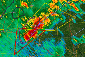
Dangerous storm coming out of Pickens County, but the radar data is messy and doesn’t seem to indicate that there is a tornado there.
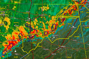
severe thunderstorms were located along a line extending from near Trenton to near Ider to near Pisgah, moving east at 50 mph.
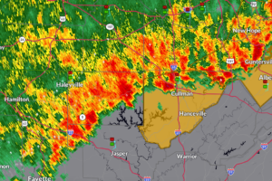
Severe thunderstorms were located along a line extending from 8 miles west of Arab to near Moreland, moving east at 25 mph.
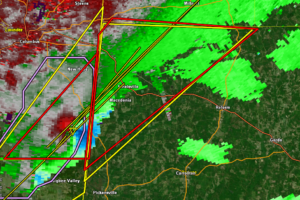
Folks from Macedonia to Ethelsville, all along US-82 then up to Liberty, Shaw, and Bethlehem need to be in tehir tornado safe spots now!
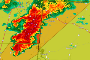
A severe storm with rotation aloft is moving into Pickens County, prompting a warning through 2:15 AM as we watch closely for potential tornado development.
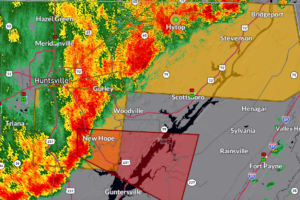
The most dangerous storm is near New Hope in southern Madison County moving east southeast into Marshall County approaching Lake Guntersville.
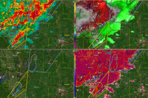
Two rotations over eastern Mississippi and western Alabama have us concerned at this hour.
 Our long time friend, mentor, and charter Weather Factory member, J.B. Elliott, passed away on May 11, 2015. Click HERE to read James' tribute.
Notifications

