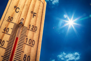
Record High Temperatures Were Set Today In Anniston And Tuscaloosa
Record high temperatures were set today at the climate reporting sites in both Tuscaloosa as well as Anniston.
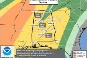
ANOTHER VERY WARM SPRING DAY: Temperatures are in the 80s across Alabama this afternoon with a mix of sun and clouds. We note a few isolated showers on radar over the western half of the state, but the main risk of storms will remain to the west tonight as a strong upper ridge remains in place across AL/GA/FL/SC.
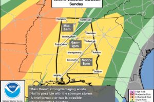
SUMMER PREVIEW CONTINUES: We are forecasting highs in the mid to upper 80s across Alabama today and tomorrow, very close to record levels for early April. While an isolated shower or storm is possible during the afternoon and evening hours, most of the state will stay dry under a strong upper ridge.
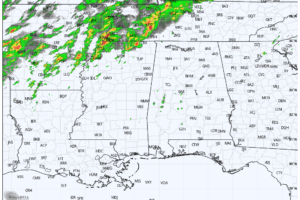
JUST LIKE SUMMER: We have a mix of sun and clouds across Alabama this afternoon with temperatures in the 85-90 degree range, right at record levels for early April. A few isolated showers have formed, but most of the state remains dry.
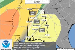
RADAR CHECK: As expected, showers and storms remained north and west of Alabama overnight. At daybreak strong to severe thunderstorms persist over Middle Tennessee, where multiple flash flood warnings are in effect, along with a couple of tornado warnings. A strong upper ridge over Florida will remain in place, keeping most of Alabama dry and very warm through Saturday.
Notifications