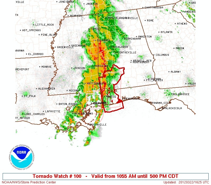
Tornado Watch – SW Alabama
This watch is in effect for Southwest Alabama until 5:00 this afternoon. Severe weather is not expected up this way…. widespread rain over West Alabama is slowly moving east.

This watch is in effect for Southwest Alabama until 5:00 this afternoon. Severe weather is not expected up this way…. widespread rain over West Alabama is slowly moving east.
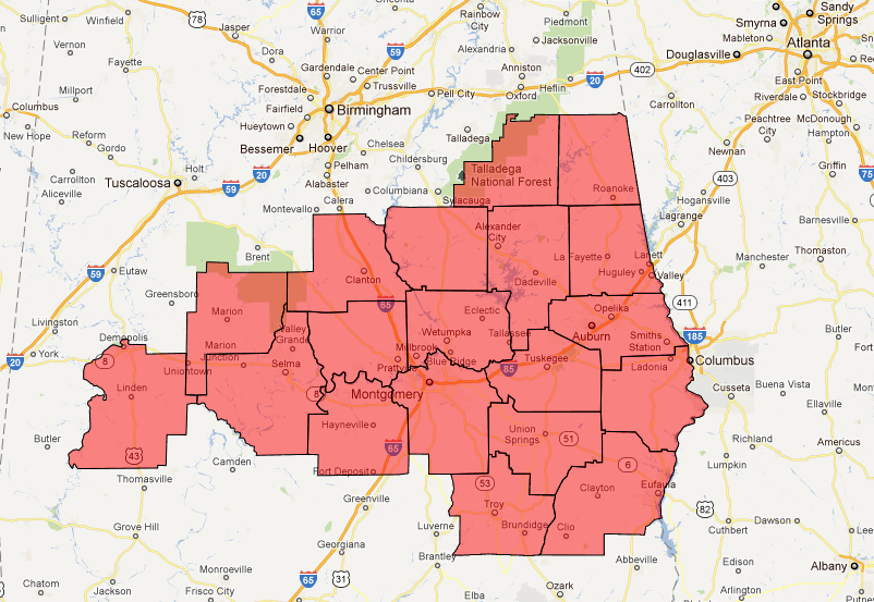
A Tornado Watch has been issued for these counties until 3:00 p.m… The watch should be cancelled in Alabama well before 3:00 as the storms move out of the state, however…
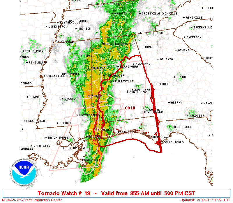
We still believe the highest risk of severe weather remains over South and Southeast Alabama, but we will also be watching East-Central Alabama just in case… ALC001-005-007-011-015-017-021-027-029-037-047-051-065-081-085- 087-091-101-105-109-111-113-115-117-121-123-262300- /O.NEW.KBMX.TO.A.0018.120126T1555Z-120126T2300Z/ THE NATIONAL WEATHER SERVICE HAS ISSUED TORNADO WATCH 18 IN EFFECT UNTIL 5 PM CST THIS AFTERNOON FOR THE FOLLOWING AREAS IN ALABAMA THIS WATCH INCLUDES […]

Still a rather marginal threat… greatest risk of severe weather will be along and south of U.S. 80… but the watch does extend north to Tuscaloosa and Jefferson Counties…
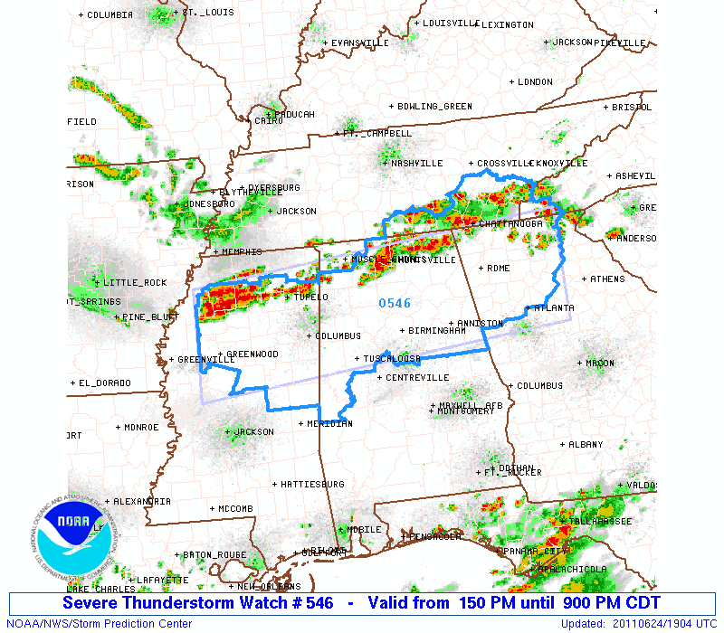
URGENT – IMMEDIATE BROADCAST REQUESTED SEVERE THUNDERSTORM WATCH NUMBER 546 NWS STORM PREDICTION CENTER NORMAN OK 150 PM CDT FRI JUN 24 2011 THE NWS STORM PREDICTION CENTER HAS ISSUED A SEVERE THUNDERSTORM WATCH FOR PORTIONS OF NORTHERN ALABAMA NORTHERN GEORGIA NORTHERN AND CENTRAL MISSISSIPPI FAR WESTERN NORTH CAROLINA SOUTHERN TENNESSEE EFFECTIVE THIS FRIDAY AFTERNOON […]
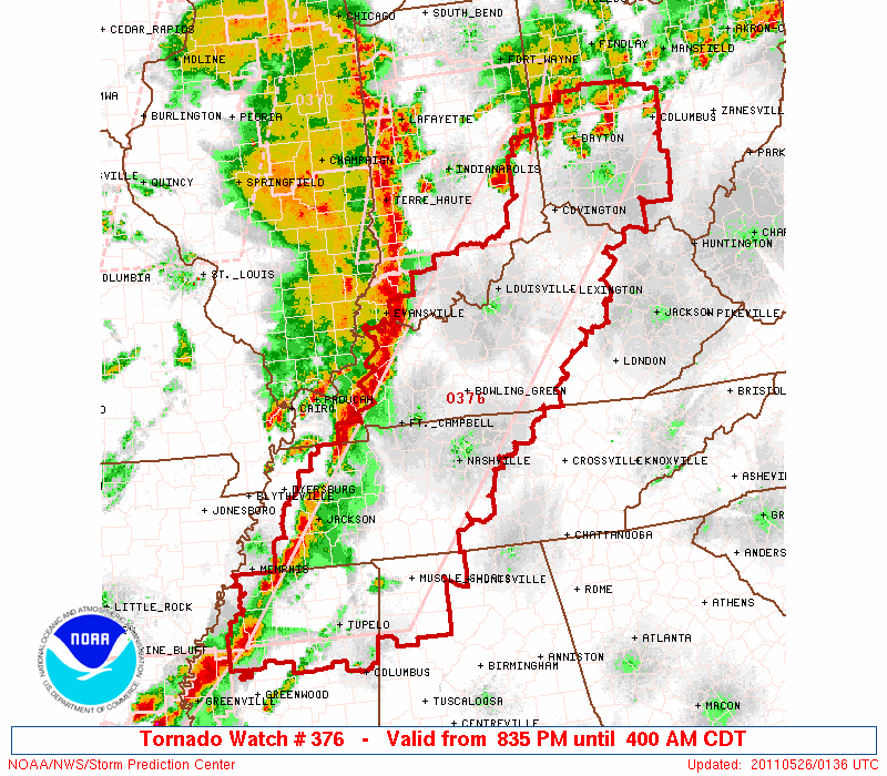
SPC has issued a tornado watch for Colbert, Franklin, Lauderdale, Lawrence & Limestone Counties in Alabama until 04:00 AM. URGENT – IMMEDIATE BROADCAST REQUESTED TORNADO WATCH NUMBER 376 NWS STORM PREDICTION CENTER NORMAN OK 835 PM CDT WED MAY 25 2011 THE NWS STORM PREDICTION CENTER HAS ISSUED A TORNADO WATCH FOR PORTIONS OF PARTS […]
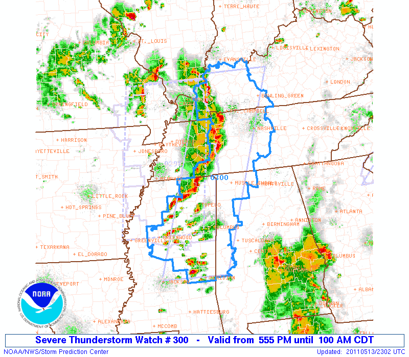
SPC has put a few counties over Northwest Alabama under a severe thunderstorm watch… the threat is somewhat marginal, and the storms should weaken this evening as the sun sets… URGENT – IMMEDIATE BROADCAST REQUESTED SEVERE THUNDERSTORM WATCH NUMBER 300 NWS STORM PREDICTION CENTER NORMAN OK 555 PM CDT FRI MAY 13 2011 THE NWS […]
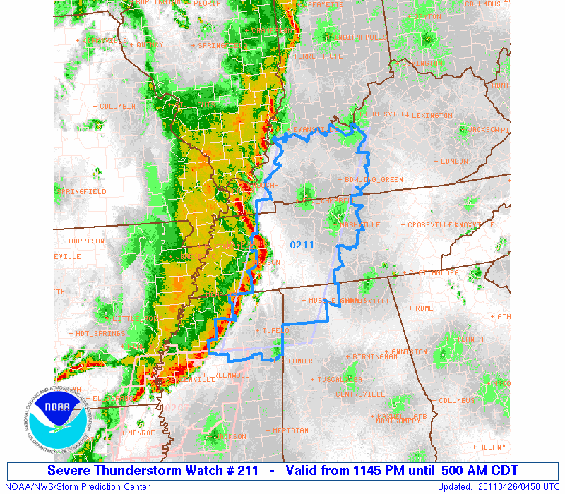
The storms should weaken as they move deeper into Alabama during the pre-dawn hours… URGENT – IMMEDIATE BROADCAST REQUESTED SEVERE THUNDERSTORM WATCH NUMBER 211 NWS STORM PREDICTION CENTER NORMAN OK 1145 PM CDT MON APR 25 2011 THE NWS STORM PREDICTION CENTER HAS ISSUED A SEVERE THUNDERSTORM WATCH FOR PORTIONS OF SMALL PART OF NORTHWEST […]
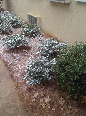
Thanks to ABC 33/40 Skywatcher C.R. Vaughn for these images… He writes: James… “Here are a few snow shots from Sumter County… Received a dusting along the US 80 corridor. Photos taken at Sumter Academy between York and Livingston.”
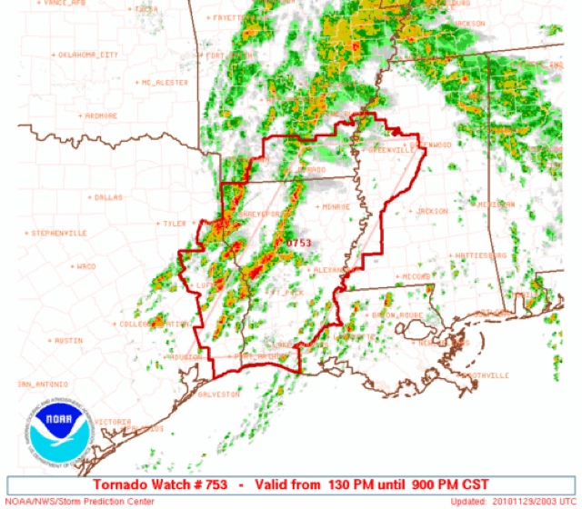
URGENT – IMMEDIATE BROADCAST REQUESTED TORNADO WATCH NUMBER 753 NWS STORM PREDICTION CENTER NORMAN OK 130 PM CST MON NOV 29 2010 THE NWS STORM PREDICTION CENTER HAS ISSUED A TORNADO WATCH FOR PORTIONS OF SOUTHERN ARKANSAS WESTERN AND CENTRAL LOUISIANA WESTERN MISSISSIPPI EASTERN TEXAS COASTAL WATERS EFFECTIVE THIS MONDAY AFTERNOON AND EVENING FROM 130 […]
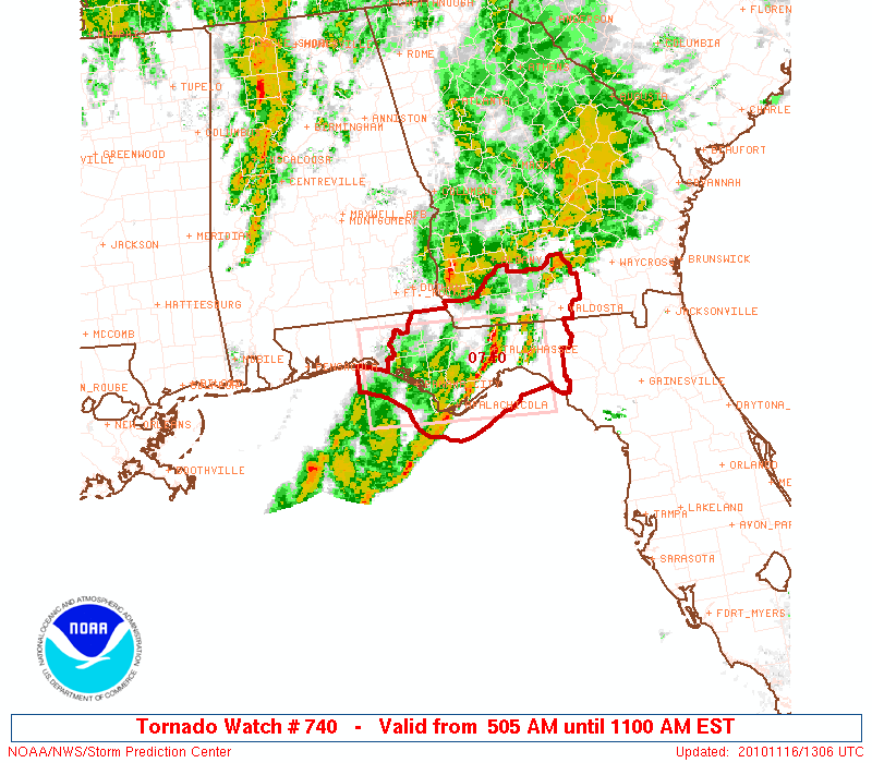
Still watching the band of storms over West Alabama… these are producing heavy rain, but there is no surface based instability up this way and we don’t expect any severe weather issues in the short term. We will monitor parts of East-Central Alabama later this morning, but the best chance of severe weather later today […]