Midday Nowcast: Welcome to October; Keeping an Eye on the Tropics
It is a mainly dry, warm day with only a small risk of a shower over North and West Alabama this afternoon. Tomorrow will be dry statewide with highs in the mid 80s.

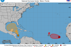
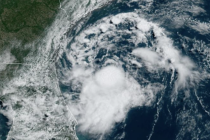
Recent data from an Air Force Reserve reconnaissance aircraft and visible satellite imagery indicate a well-defined center of circulation and is producing winds to near 35 mph, but the associated showers and thunderstorms are not quite organized enough for this system to be considered a tropical cyclone.

An all new edition of the ABC 33/40 Weather Xtreme video is available in the player on the right sidebar of the blog. You can subscribe to the Weather Xtreme video on iTunes by clicking here. MOSTLY DRY THROUGH FRIDAY: While the sky is generally cloudy across Alabama this afternoon, the radar is very quiet, […]

An all new edition of the ABC 33/40 Weather Xtreme video is available in the player on the right sidebar of the blog. You can subscribe to the Weather Xtreme video on iTunes by clicking here. REFRESHING MORNING: One of the cooler spots around Alabama early this morning is Fort Payne with a cool 55 […]

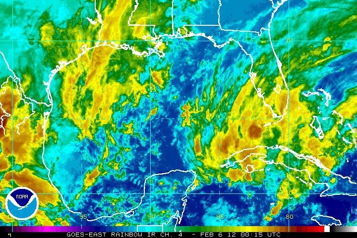
Since hurricane season doesn’t start until June 1, it is a little odd to see some tropical action here in early February. See the NHC discussion below. We should note the earliest tropical storm in record came on February 2, 1952… And earliest hurricane in March 6, 1908. SPECIAL TROPICAL WEATHER OUTLOOK NWS NATIONAL HURRICANE […]

An all new edition of the ABC 33/40 Weather Xtreme video is available in the player on the right sidebar of the blog. You can subscribe to the Weather Xtreme video on iTunes by clicking here. HOT, HAZY WEEKEND: Not much change in our weather through early next week. Hot, hazy days with a mix […]