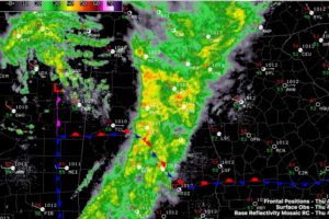
9 a.m. Update on the Alabama Weather Situation
We are watching another marginal severe weather threat for eastern parts of Alabama this afternoon ahead of a surface low and cold front.

We are watching another marginal severe weather threat for eastern parts of Alabama this afternoon ahead of a surface low and cold front.
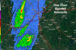
Heavy rains are accompanying our line of storms as it pushes across the I-65 Corridor. Some flooding may result.
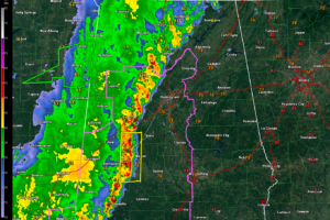
The southern part of our line of storms has been intensifying as it moves into more instability and more wind shear. The damaging threat and flooding threat continues, along with the possibility of a few tornadoes. A tornado watch remains in effect for parts of the area until 7 p.m. along with a flash flood watch through 1 a.m.
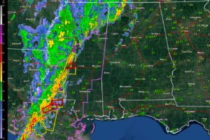
Storms are intensifying impressively over Central and southern Mississippi. These storms will reach West Alabama before noon. There are no severe weather watches for Alabama at this time, but they will be required later.
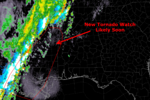
The severe weather threat to the west of Alabama will be ramping up over the next 1-2 hours which could lead to a new watch shortly.
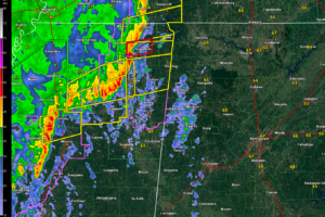
Strong storms are approaching northwestern Alabama early this morning and there is a threat of severe weather today and tonight across all of Alabama, including an enhanced threat over the western half of the state.
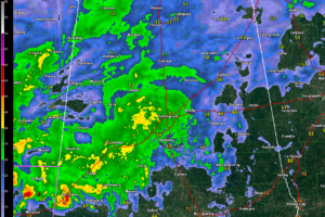
The weather is very active to the west o Alabama with just rain and occasional thunder over the northern half of our state for now. Strong to severe storms will slide into Southwest Alabama later this evening.
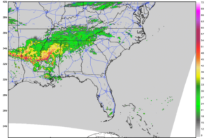
Rain and occasional thunder will impact mainly Northwest Alabama through mid-afternoon, sliding southeastward with time. Strong storms will arrive in West and Southwest Alabama after 9 p.m. Any severe weather will be limited to those areas tonight.
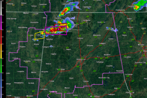
Severe and even tornadic storms are over Northwest Alabama at this hour. They are pushing east and will eventually turn more southeast. We are watching the southern extent of the line to see if it will impact areas south of I-22
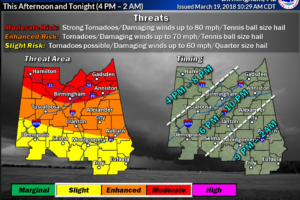
Confidence about the severe weather threat is increasing and the impacts are coming into closer focus. Here is the latest.
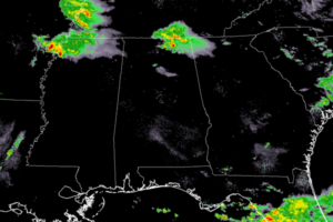
The center of low pressure that will be responsible for our threat for severe storms later today is currently located over the Oklahoma/Kansas state line starting to move into the southwestern parts of Missouri.
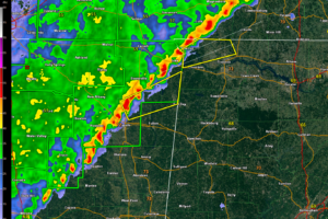
The line of storms is now into Northwest Alabama and there is a severe threat with this activity. The line should weaken overnight.
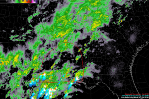
The SPC thinks storms will intensify over South and South Central Alabama over the next few hours and warns that a few of them could be severe with damaging winds and even an isolated tornado.
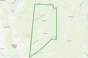
At 642 PM CST, Doppler radar indicated training heavy rainfall that will cause minor flooding of streams, poor-drainage, and flood-prone areas in the advisory area.
Notifications