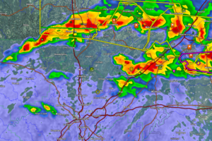
Storms Affecting the Birmingham Metro/Tuscaloosa
Storms in the Birmingham/Tuscaloosa areas are not severe at this time. They could intensify however.

Storms in the Birmingham/Tuscaloosa areas are not severe at this time. They could intensify however.
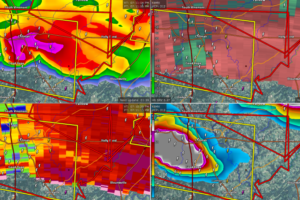
A powerful storm with a possible tornado is passing through Cullman. Folks east of Cullman over into northern Blount County must be in safe shelter now!
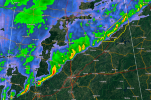
Heavy rain and wind gusts to 50 mph are possible with these storms.
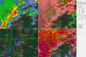
Rotations have developed in storms over northern Mississippi late this evening, prompting a tornado warning for parts of northeastern Mississippi and southern Tennessee.
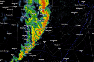
At 1134 AM CST, Doppler radar was tracking a strong thunderstorm over New Market, or near Moores Mill, moving east at 40 mph. Winds in excess of 40 mph will be possible with this storm.
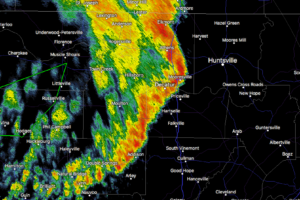
At 10:46 AM CST, Doppler radar was tracking a strong thunderstorm near Huntsville International Airport, or near Decatur, moving east at 40 mph. Winds in excess of 40 mph will be possible with this storm.
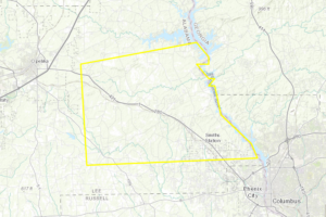
At 908 AM CST, a severe thunderstorm was located near Bleecker, or 9 miles southeast of Opelika, moving east at 55 mph.
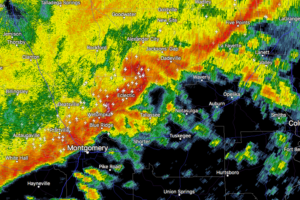
At 803 AM CST, Doppler radar was tracking a strong thunderstorm over Martin Dam, or 10 miles north of Tallassee, moving east at 50 mph.
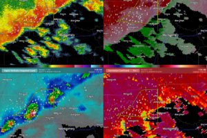
At 733 AM CST, severe thunderstorms were located along a line extending from Deatsville to Booth, moving east at 35 mph.
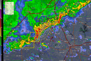
At 623 AM CST, a severe thunderstorm was located 7 miles southeast of Marion, moving east at 50 mph.
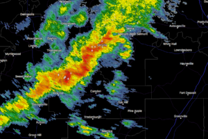
At 12:37 PM CST, Doppler radar was tracking a strong thunderstorm near Central Mills, or 15 miles north of Camden, moving northeast at 35 mph. Winds in excess of 40 mph will be possible with this storm.
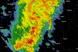
At 11:10 AM CST, Doppler radar was tracking a strong thunderstorm near Butler, moving east at 45 mph. Winds in excess of 40 mph will be possible with this storm.
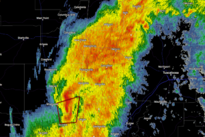
At 10:31 AM CST, Doppler radar was tracking a strong thunderstorm over Electric Mills, or 17 miles northeast of Meridian Station, moving east at 35 mph. Winds in excess of 40 mph will be possible with this storm.
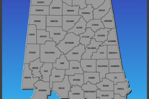
This is a running post for the latest on advisories in North & Central Alabama. The latest updates will be located at the top of the post.
Notifications