Evening Look At The Overnight Risk
Thanks to Bill Murray for all his work today; he will be manning the blog overnight and will keep it up to date with fresh information.
Just a quick note some important observations…
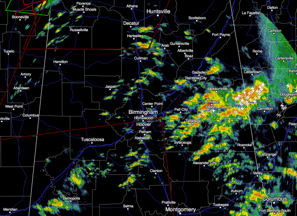
*There is no severe weather in Alabama at 6:30 p.m.
Storms are producing heavy rain over East Alabama around Anniston, but they are below severe limits.
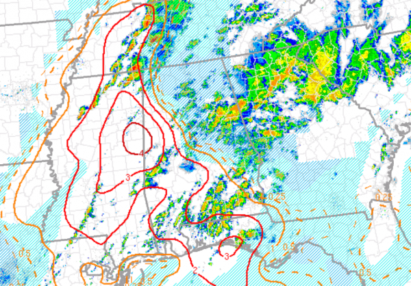
*Just because there is no severe weather now, doesn’t mean there won’t be any severe weather in coming hours. The combination of shear, instability, and dynamics continue to support a significant threat of severe storms across Alabama tonight, and into the daytime hours tomorrow. This is a long duration event. The highest STP (significant tornado parameter) values are now near the Alabama/Mississippi border, and severe storms could form at any time over West Alabama. Storms can fire out of nowhere in a hurry in this pattern.
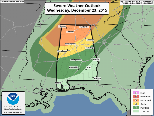
*All of North and Central Alabama has a risk of severe storms overnight. It doesn’t matter where you live. Highest chance of stronger tornadoes will come over West Alabama, but a tornado or two is certainly possible over the eastern counties as well. Here is the new convective outlook from SPC…
*I have fear we will have tornado warnings after midnight and into the pre-dawn hours. You do not want to sleep through a tornado warning; be sure you have a NOAA Weather Radio and smart phone app near your bedroom. See this post on apps and other things you can do to be prepared.
*This is a serious weather system; at least two people have been killed in North Mississippi with several others injured seriously. Stay on your guard overnight, and during the day tomorrow.
If there are tornado warnings issued for our market in Alabama, we will be on ABC 33/40 with continuous coverage. You can also watch online, or through the ABC 33/40 app. Again, see this post on how to access the live streams.
Stay tuned for more updates from Bill shortly.
Category: Alabama's Weather


