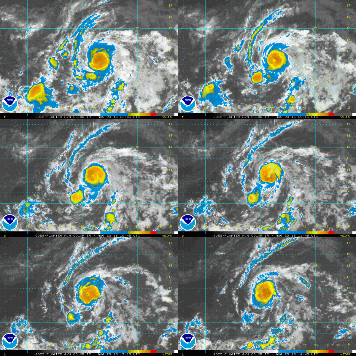
Danny Now a Hurricane
Danny was upgraded to hurricane status on the 10 a.m. advisory from the NHC.
Here are the Fast Facts:
———————————————–
LOCATION…12.5N 44.8W
ABOUT 1090 MI…1755 KM E OF THE WINDWARD ISLANDS
MAXIMUM SUSTAINED WINDS…75 MPH…120 KM/H
PRESENT MOVEMENT…WNW OR 295 DEGREES AT 12 MPH…19 KM/H
MINIMUM CENTRAL PRESSURE…992 MB…29.30 INCHES
The system is very small, which makes it vulnerable to unfavorable environmental conditions. It is expected to remain in an area of low shear, which is favorable for intensification, so it might strengthen even further. The current forecast calls for a peak intensity of 85 mph.
There is lots of dry air to the north, so the double edged sword is that intensification might act to pull in some of this drier air to the cyclone, which would weaken it.
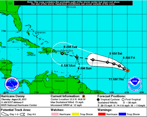
Here is the official 5-day forecast track for Danny:
There is good agreement between two major global models that the system will impact the northern Lesser Antilles, including the Leeward Islands, Virgin Islands and Puerto Rico. On this track, it would impact Hispaniola as well. That mountainous island tends to knock the stuffing out of tropical cyclones, and a small one would be especially vulnerable.
In fact, the cyclone is forecast to degenerate into a tropical wave by the two global models.
A change in track to the north or south could change this way of thinking.
It is too early to know if Danny can hold together and impact the Gulf of Mexico, but of course, any storm in the Caribbean gets our attention here in the region. We will have plenty of time to watch it, as it is at least 7-8 days from being a threat to the Gulf or South Florida.
Category: Tropical


