Quick Evening Update
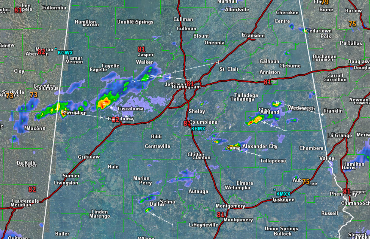
We continue to see a few showers and storms across Central Alabama this evening, however most locations are dry. Many areas today have seen storms, but the bulk of that activity has shifted over into Georgia.
At this time, we are tracking a a cluster of storms approaching Tuscaloosa from the northwest and we are seeing showers extend up into eastern Walker and now approaching western Jefferson County. These storms are along the front that is sinking towards the southeast. Other storms this evening are ongoing to the south and east of the Birmingham Metro.
These storms ongoing and any additional storms which may develop, will have gusty winds, lots of lightning, and some heavy rainfall. We will continue to see showers and storms be possible the next several hours, especially the farther south you go in the state.
The front will push on towards the Gulf Coast overnight and will be delivering a drier air mass for our Sunday. Expect mainly sunny conditions tomorrow with lower humidity levels.
Category: Alabama's Weather


