Afternoon Update
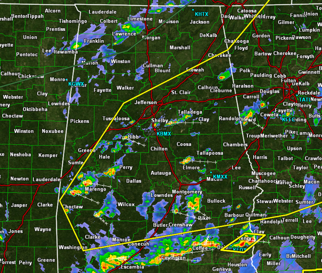
It certainly is a muggy afternoon across the area. These humid conditions are providing ample fuel for showers and storms across the state and we are seeing a lot of activity on the radar this afternoon.
All this activity is out ahead of a frontal boundary that continues to sink towards the south. The front early this afternoon is making its way into NW Alabama, and there is a line of storms along it that are dropping towards the southeast. Until this front makes its way through the area, expect unsettled weather with numerous showers and storms.
Storms today, as we have seen through out the week, are capable of packing a punch today. For this reason, the SPC maintains the “slight risk” of severe weather for much of Central Alabama. The areas within the yellow line are in this threat. Outside the slight risk, there is the standard “marginal risk.” Stay weather aware the rest of today as some of the stronger storm will be capable of producing damaging winds courtesy of “wet-microbursts.” Also, storms are producing a lot of lightning, hail, and intense rainfall. Flooding could be a threat in isolated areas as well. Expect a rather active afternoon and evening across Central Alabama.
Storms should dissipate from northwest to southeast across the state as we head through the evening and overnight hours.
Category: Alabama's Weather


