Bill-To-Be: Gulf System Could Be Upgraded Soon
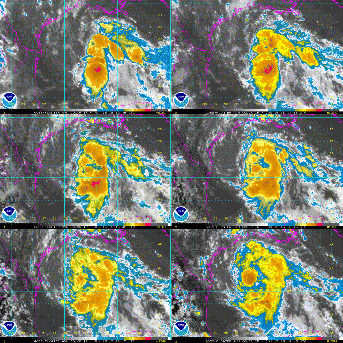
Imvest 91L over the Central Gulf of Mexico has not been designated a tropical depression or tropical storm yet because the circulation is not considered to be tight enough yet. But tropical storm force winds are being measured well to the northeast of the center.
The system appears to be becoming better organized with convection increasing near the center. The environment is becoming more favorable for intensification with difference aloft helping to enhance rising vertical motion.
This is an area not unfamiliar with rapidly strengthening storms (think Humberto in 2007 and Audrey in 1957.
I think the system will be designated a tropical depression soon and a tropical storm later this evening. The NHC says they will wait for the recon infonfrom this evening’s flight before making an upgrade decision.
The system is expected to make landfall on the middle Texas coast Tuesday morning around Port Lavaca. This will bring more heavy rains to Houston and well up into Texas including Dallas. Showers and storms are already massing off the coast of Southeast Texas and Southwest Louisiana.
Flash flood watches are already posted for North Texas and Oklahoma through Thursday because of the expected heavy rains.
Coastal flood warnings are already in affect along the coast of western and Central Louisiana.
In the Houston area, there is already a voluntary evacuation of the Bolivar Peninsula where highway 87 is expected to flood. You remember the impact category two Hurricane Ike had on that area a few years ago.
Another recon flight is tasked for this evening. We will be watching.
Category: Alabama's Weather, Tropical


