Line of Storms Moving East, Not Severe
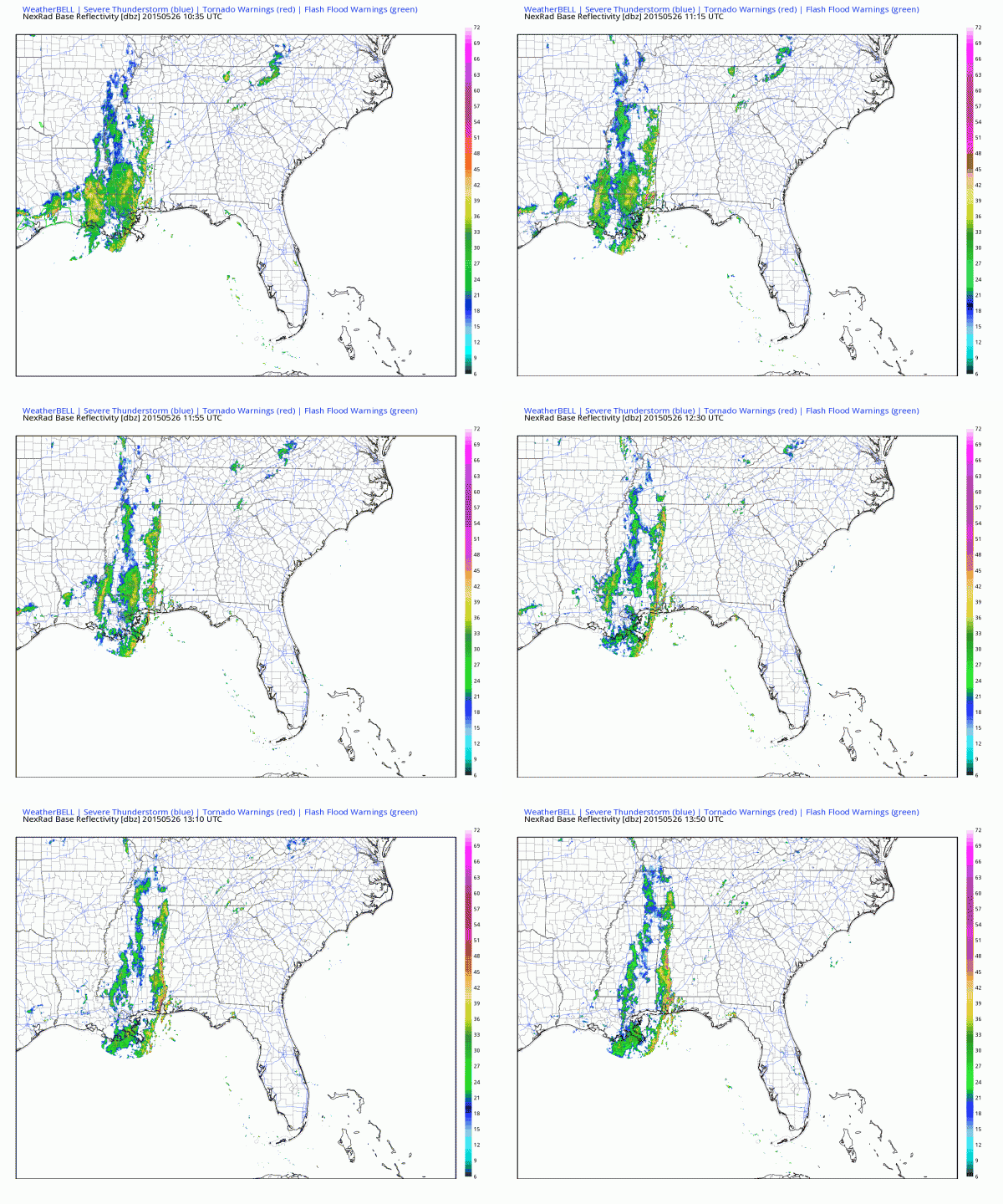
Our line of showers and storms has been fairly well behaved this morning. There was one severe thunderstorm warning for Jackson MS overnight, with some tree and power line damage reported there, but the line continued to slowly weaken as it moved into Alabama early this morning.
The line has been nearly as straight as a ruler but it starting to lose is organization. The good news is that this orientation tends to produce the least damaging winds. The strongest storms are from western Tuscaloosa County through Hale County just before 9 a.m. Others extend from Fayette, western Walker and Winston Counties.
Here is a radar animation over the past four hours.
The line should continue its steady eastward progression. None of the storms are severe or are expected to become severe this morning. Alabama is not included in the Slight Risk outlook area from the SPC.
Others storms may form late this evening and move across the area, but they shouldn’t be severe either.
More rain and storms are on tap for tomorrow, Wednesday and Thursday it appears, although they should start to thin a bit after tomorrow.
Category: Alabama's Weather


