Mainly Sunny & Very Warm
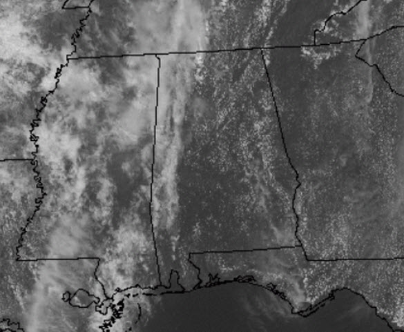
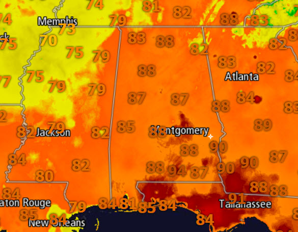
Most locations are seeing mainly sunny conditions this afternoon, but there have been a few blips on the radar in northern Mississippi and these light showers may be able to work their way into extreme north and northwestern Alabama this afternoon. Nearly all of us stay dry today, be there is a slight chance of an isolated shower. We continue to be under a ridge that is allowing our temps to warm into the upper 80s and lower 90s this afternoon. This is certainly the warmest weekend of weather thus far in 2015.
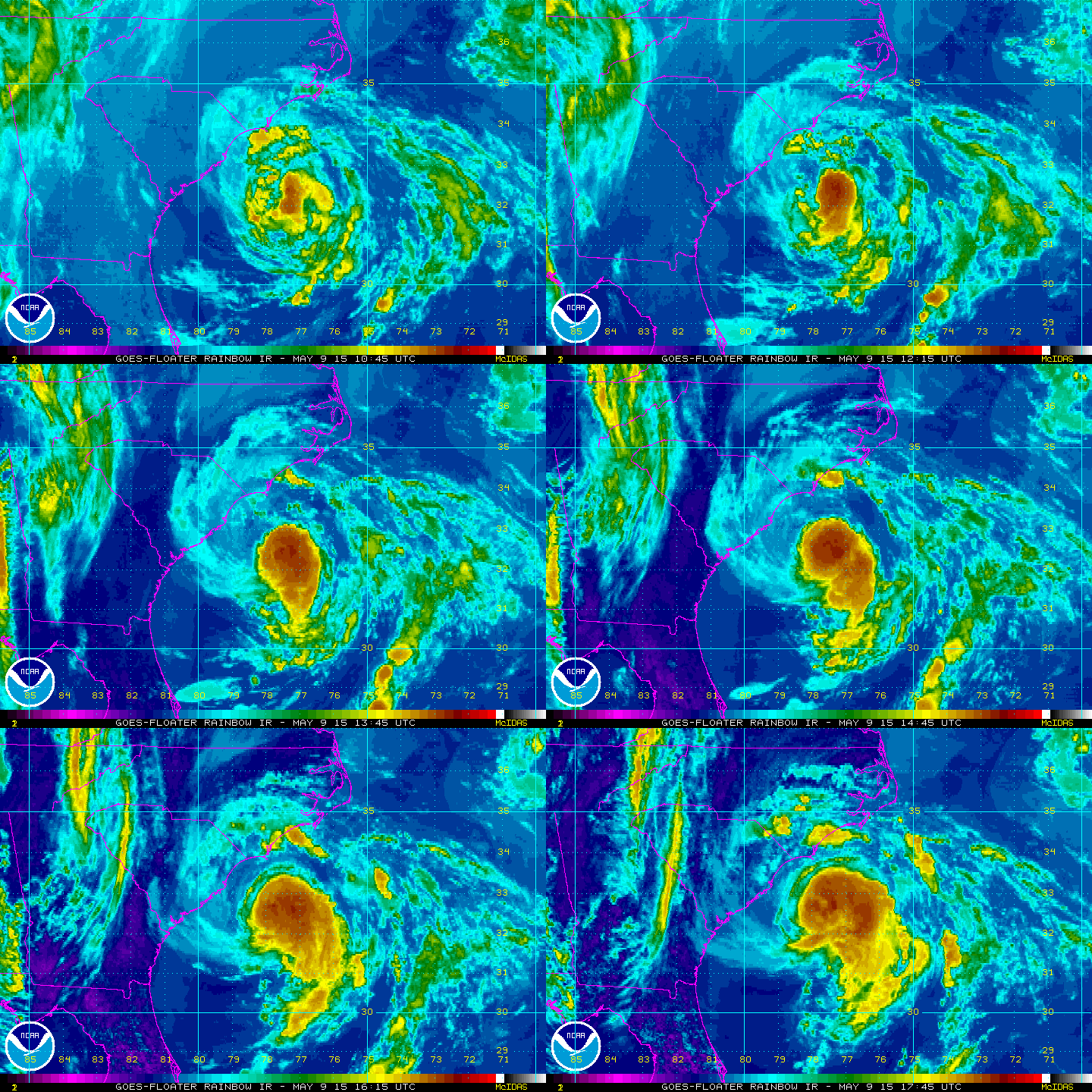
Now to the east, Tropical Storm Ana is now fully tropical as opposed to her sub-tropical characteristics of the last few days. The latest update from the NHC at 100 PM CDT has the center of Tropical Storm Ana located near latitude 32.7 North, longitude 78.1 West. Ana is moving toward the northwest near 3 mph. A turn toward the north and north-northeast with a gradual increase in forward speed is expected over the next 48 hours. On the forecast track, the center will be very near the coasts of South and North Carolina by tomorrow morning. Maximum sustained winds are near 60 mph with higher gusts. Gradual weakening is forecast as Ana moves over cooler waters close to the coastline overnight. A more rapid rate of weakening will begin after the center crosses the coast. Tropical storm force winds extend outward up to 125 miles from the center. The estimated minimum central pressure is 1001 mb or 29.56 inches.
For tomorrow, Mother’s Day will be a terrific day for mom to relax in the air conditioning. We will see another day with a mix of sun and clouds, and after starting the day in the mid to upper 60s, look for a near repeat of today for afternoon highs. We are forecasting highs tomorrow afternoon to climb back into the upper 80s and lower 90s across the state and no rain is expected.
Category: Alabama's Weather


