Good Soaking Beginning Friday Afternoon
An all new edition of the ABC 33/40 Weather Xtreme video is available in the player on the right sidebar of the blog. You can subscribe to the Weather Xtreme video on iTunes by clicking here.
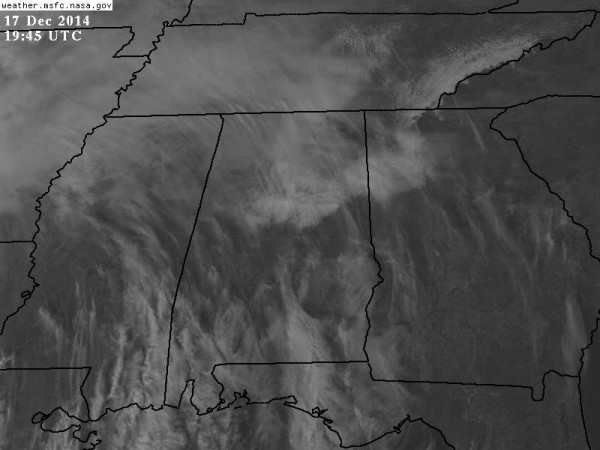
VARIABLE CLOUDS: Some North/Central Alabama communities are in bright sunshine this afternoon with temperatures in the low 50s, some places are dealing with a cloud over with temperatures in the 40s. No rain on radar, and the low levels remain dry.
Not much change in our weather tomorrow; mixed sun and clouds with a high in the low 50s for most communities. We might consider a small risk of a shower as moisture levels begin to slowly rise.
RAIN RETURNS: A rather dynamic weather system will impact Alabama as the weekend begins. Rain will spread into the state from the southwest Friday afternoon, becoming widespread Friday night. SPC has a “marginal risk” of severe weather up for the western and central Gulf Coast, but even there instability values are marginal. No severe weather is expected over the northern two-thirds of Alabama, although some thunder is certainly possible.
The rain will end from west to east during the midday hours Saturday; rain amounts will average one inch, with potential for a little more over West Alabama. Then, we expect partial clearing Saturday night as drier air works into the state.
SUNDAY/MONDAY: These two days look dry and pleasant with a partly sunny sky both days and a high close to 60 degrees.
ACTIVE PATTERN BEFORE CHRISTMAS: Clouds thicken on Tuesday, and we will forecast a good chance of rain by Tuesday afternoon and Tuesday night as a strong cold front approaches. The new high resolution parallel GFS model has a 993 mb low near Nashville Tuesday night, suggesting we might even have some risk of strong thunderstorms; that will all depend on the amount of instability available, which is always questionable this time of the year. We will watch model trends in coming days.
Then, on Wednesday (Christmas Eve), the weather turns sharply colder and blustery in the wake of the cold front. The day looks mostly cloudy, windy, and cold with temperatures having a hard time getting out of the low to mid 40s. A very deep surface low (960 mb) is forecast to form just north of Buffalo, and moisture wrapping around that could squeeze out a few flurries or sprinkles during the day Wednesday. If we do see flurries, they shouldn’t amount to anything significant with surface temperatures well above freezing and very limited moisture.
CHRISTMAS DAY: For Alabama, the day looks dry. We begin with a morning low down in the upper 20s, followed by an afternoon high in the low 50s with a good supply of sunshine. See the Weather Xtreme video for maps, graphics, and more details.
WEATHER BRAINS: Don’t forget you can listen to our weekly 90 minute netcast anytime on the web, or on iTunes. This is the show all about weather featuring many familiar voices, including our meteorologists here at ABC 33/40.
CONNECT: You can find me on all of the major social networks…
Facebook
Twitter
Google Plus
Instagram
I will be at the Tots for Tots campaign wrap-up this evening at Legacy BBQ on Highway 150 in Hoover… on ABC 33/40 News at 4, 5 and 6:00… then back in the studio at 10:00. The next Weather Xtreme video will be posted here by 7:00 a.m. tomorrow…
Category: Alabama's Weather


