A Look at Alabama’s Weather This Afternoon
An interesting weather map this afternoon across the Southeast.
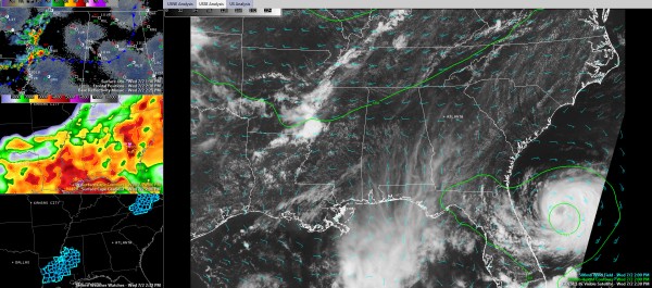
On the visible satellite, you can clearly see tropical storm Arthur off the Northeast Coast of Florida, moving north northeast at 8 mph.
I overlaid the 500 mb height contours in green so that you can see a distinct upper level disturbance by the Mississippi River.
Radar shows intense storms along the Mississippi River north of Vicksburg. Severe thunderstorm warnings are in effect. The SPC has just issued a severe thunderstorm watch for much of Mississippi and Louisiana.
This activity will track eastward along a stalled frontal boundary that lies generally along I-59. You can see that in the top left panel. Temperatures are around 90F north ofthe front and in the middle 90s to the south.
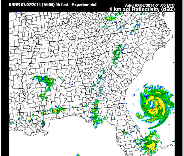
The HRRR model indicates that the storms will weaken as they push into Alabama after 7 p.m. Here is the model reflectivity for 8 p.m.:

But they are dissipated a couple of hours later according to the model.
We will keep out eyes on them.
Category: Alabama's Weather, Severe Weather


