Quick Morning Update
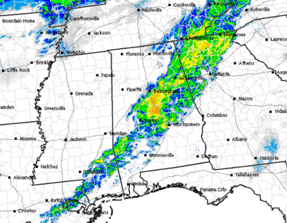
The showers continue to race off to the east this morning. The are confined to areas along the cold front and are staying ahead of the freezing line this morning. The is keeping any winter weather issues from developing this morning. We still have a few hours to watch this, but it looks as though little to no impacts will occur. The heaviest rain has shifted south and east of the Interstate 59 corridor, with the heavier downpours affecting portions of Talladega, Coosa, Tallapoosa, and Clay counties. There are a few very light radar return in northern Mississippi that we will be watching, and these will be working east the next several hours. There is still a very slight chance for some small ice accumulations over our northwestern counties.
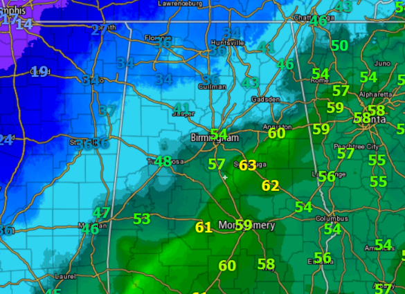
The main weather story continues to be the drop in the mercury. The 70s from Sunday will be replaced by 40s and 50s today. As the front has crossed the state this morning, we have seen temperatures drop 10-20 degrees in an hour. We are seeing a few areas in our northwestern counties approaching the freezing mark, and these are the areas we will be watching through mid-morning. Don’t expect much of a warm up today behind the front. Cold air advection will keep temperatures well below seasonal averages.
Category: Alabama's Weather, Winter Weather


