Late Night Peek
Here is a late night look at expected weather for Alabama tomorrow.
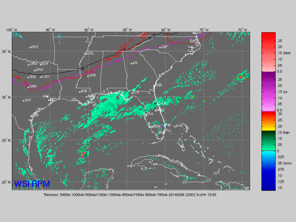
Most of the model guidance still looks rather dry for our state; the 4km RPM, which performed very well last week, shows nothing (this is output valid at 4pm)
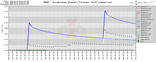
We do note the 00Z GFS run spits out a little snow around the I-20/59 corridor. BUFKIT analysis shows potential for 0.10″ for Birmingham…
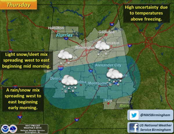
And, the NWS is mentioning some risk of light snow/sleet around I-20/59 tomorrow…
Bottom line is that some light precipitation is possible tomorrow for places like Birmingham, Tuscaloosa, Anniston, and Gadsden. Mostly rain, but some light snow/sleet is possible as well. Temperatures should be above freezing during most of the daylight hours, meaning travel issues are very unlikely. The NWS has not issued any winter weather watches, warnings, or advisories.
The temptation after last week is to be very aggressive on every day like this and forecast a big snow just to “cover our backside”, but that is not sound science. Best forecast practices suggest tomorrow won’t bring any major issues to Alabama in terms of winter weather.
But, get up extra early tomorrow and check the blog for possible updates. After all, this is winter in Alabama, you know…
Category: Alabama's Weather


