Flash Flood Watch – Central/East Alabama
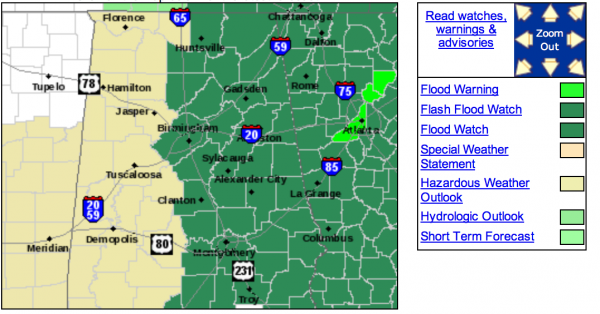
The NWS in Birmingham as expected has issued a flash flood watch through Friday for communities generally along and east of I-65, where the heaviest rain is expected to fall for the rest of the week.
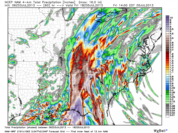
The high resolution NAM (4km) continues to show big rains on the eastern side of the state with some flooding potential…
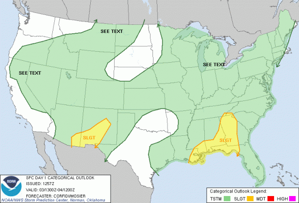
And, we should also note SPC has put parts of East and South Alabama in the standard “slight risk” for severe weather later today and tonight…
Bottom line is that our weather will be wet, stormy, and active through the Fourth of July holiday… we will be watching closely and will keep you posted.
Category: Alabama's Weather


