Update on Christmas Weather
Some new model data is rolling in tonight, and quite frankly I don’t see any reason to change our thinking for the weather in Alabama for Christmas. Still, unfortunately, a significant severe weather threat. If there is any shift in thinking, the event might be a tad later in getting here. But, not by much.
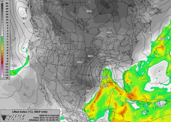
Below is the new NAM output valid at midnight Tuesday night…
The green on the above map shows where there will be surface based instability (lifted index below zero).
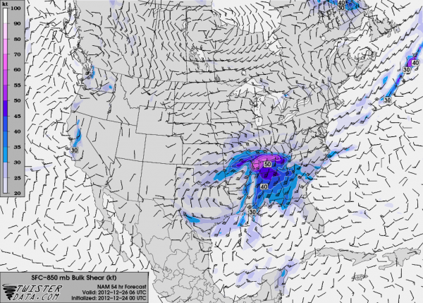
A very high amount of shear will be available…
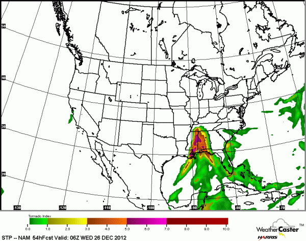
And, the STP (significant tornado parameter) values remain high…
Bottom line is that a major severe weather threat is building for the Deep South. In Alabama, the primary risk will be along and south of U.S. 278 (Hamilton to Cullman to Gadsden) from about 3:00 p.m. Tuesday through 3:00 a.m. Thursday. All modes of severe weather will be possible, including even the potential for a few strong tornadoes.
For those of you in the Tennessee Valley of extreme North Alabama, you will have a chance of severe storms as well, but the big question there is the amount of instability. New guidance tonight hints that there will indeed be enough buoyancy for severe weather to the Tennessee border.
This is a very difficult time for a severe weather event, needless to say, since so many people are traveling and “out of pocket”. Please be sure your friends, neighbors, and family members understand the risk, and are able to receive severe weather warnings Christmas afternoon into the nighttime hours.
I will have a full briefing here very early tomorrow morning…
Category: Alabama's Weather, Severe Weather


