Severe Weather Tomorrow?
Brian will be along shortly with a full discussion and fresh Weather Xtreme video…
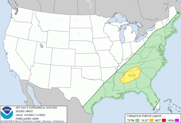
I note SPC has put North Alabama in the standard “slight risk” of severe weather tomorrow…
I am not overly impressed with the threat. Looks like a typical cold season high shear low CAPE type event. Yes, those can be problematic at times, and it certainly needs to be watched, but the overall parameters are pretty marginal.
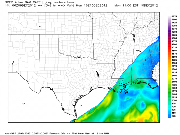
Below is the projected surface based CAPE (convective available potential energy) at 10:00 a.m. tomorrow ahead of the cold front…
CAPE values remain under 500 j/kg, meaning very limited instability, or ability of the air to rise freely and form deep convection.
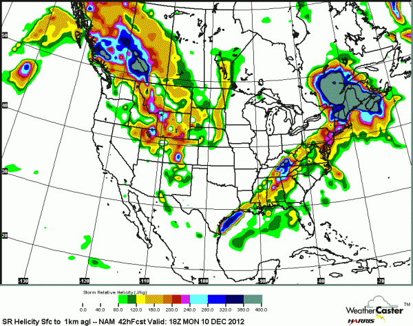
The low level helicity values remain high (veering of the wind with altitude in relation to storm motion)>..
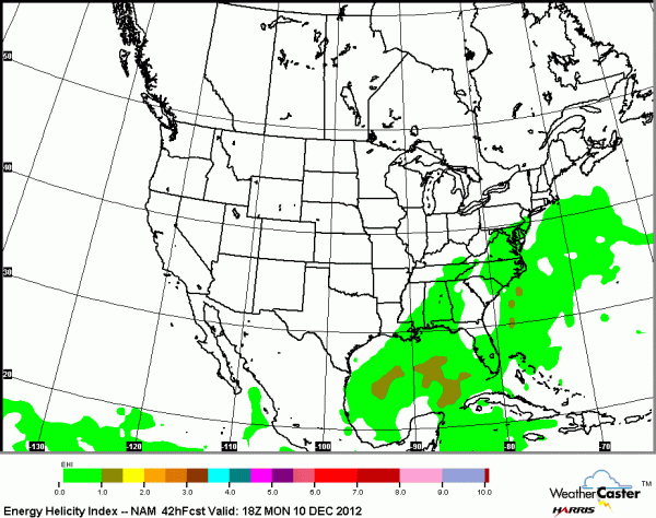
But, the EHI values are low (less than 1)…
Bottom line is that strong storms are possible in the QLSC (quasi linear convective system) ahead of the cold front with gusty winds, but a major severe weather issue is not likely. The main issue will be straight line winds that could gust at times to 40-60 mph.
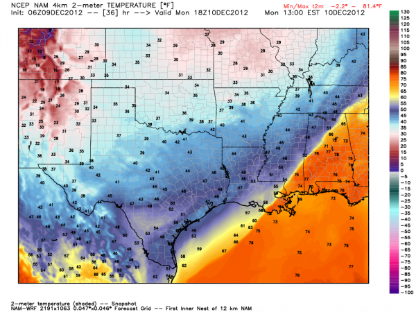
One thing is a certainty… it will be turning MUCH colder following the front. At midday Monday, northwest communities will be in the 40s behind the front, while South Alabama will be in the 70s. All of Alabama turns cold Monday night, and Tuesday will be a raw, cold day with most places around here not getting out of the 40s.
Category: Alabama's Weather


