Isaac To Become Nadine?
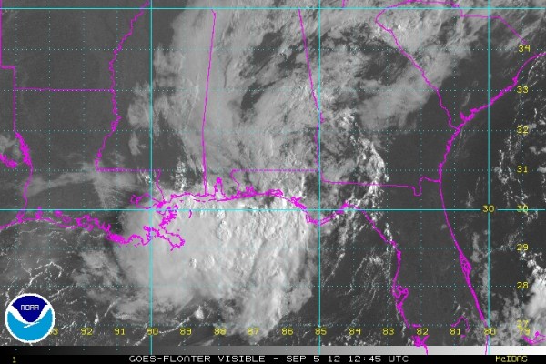
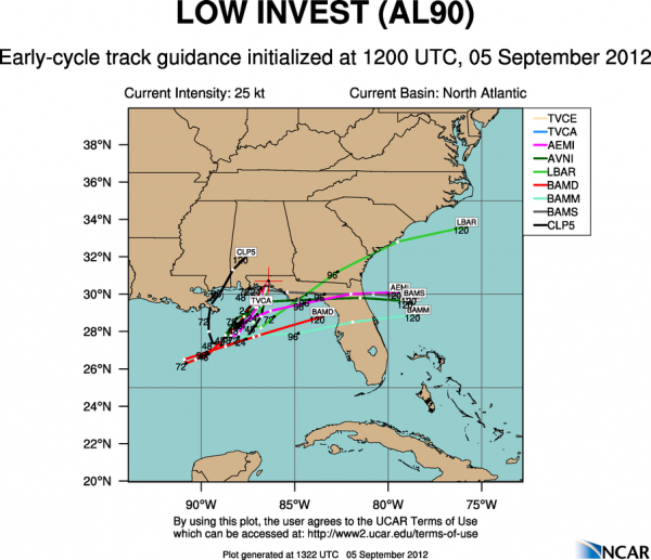
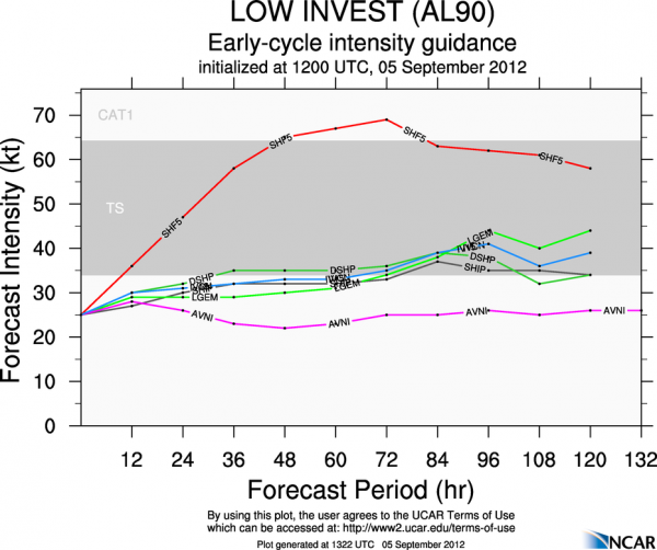
NHC has now designated the remnant circulation of Isaac as Invest 90L. I still believe this has a good chance of getting it’s act together, becoming Tropical Storm Nadine in coming days. Below is the current visible satellite image, along with the model tracks and intensity forecasts.
Remains to be seen if this will impact Alabama; some models bring it up toward Pensacola; others take it toward the northern Florida Peninsula. Will discuss this more in the afternoon discussion and Weather Xtreme video later today.
Category: Tropical


