Afternoon Forecast Notes
We are on a holiday schedule today… you can watch the morning Weather Xtreme video for the full forecast details.
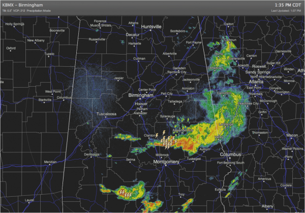
This afternoon, the most widespread rain has pushed to the east and south…
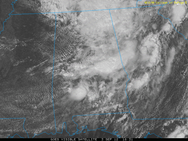
Visible satellite imagery shows some clearing over West Alabama…
This will help to destabilize the airmass over Alabama in coming hours, and new storms should begin to form.
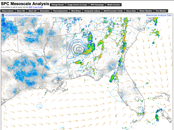
Unfortunately, there is a low level (0-1 km) helicity max just south of Birmingham…
This means that there will be some risk of isolated, small tornadoes over Central Alabama later today and early tonight, so we will keep an eye on the radar closely. Stay tuned for updates as the new storms begin to fire.
Category: Alabama's Weather


