Afternoon Update…Isaac now a tropical storm
Isaac has be downgraded to a tropical storm, but continues to to cause damage across many areas. Numerous flash flood warnings and tornado warnings continue across southwestern Alabama, southern Mississippi and Louisiana.
Winds are a 70 mph and Isaac continues to creep slowly to the northwest at 6 mph. Minimal pressure is at 974 mb. Storm surge is running from around 4 feet in Mobile Bay, to over 11 feet in coastal Louisiana.
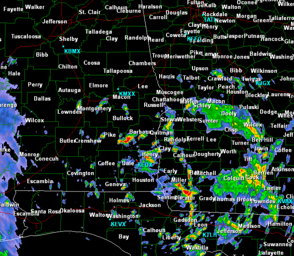
Around our neck of the woods, a tropical air mass is in place with a mostly cloudy sky with a few peeks of sunshine this afternoon. The heaviest rain chances remain to our southwest. Over the last few hours scattered showers and thunderstorms have developed across southern Alabama and are moving fairly quickly to the north and are beginning to approach the Interstate 85 corridor. None of these storms are currently severe, but there are a few strong ones with gusty winds and torrential tropical downpours.
Mobile has received the most rainfall in the state from Isaac with over 6 inches of rain. Storm surge in Mobile Bay is over 4 feet. That along with the rain has caused Water Street south of Dauphin Street in downtown Mobile to be closed because of flooding.
Over 500,000 thousand people in Louisiana, Mississippi and Alabama are without power.
Category: Alabama's Weather


