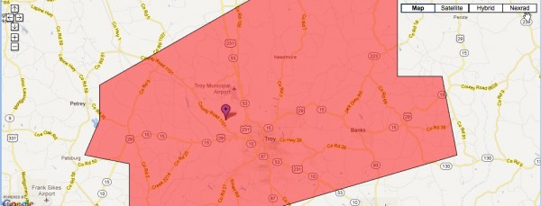
Pike County Tornado
The National Weather Service Birmingham did a great job with a storm that developed in South Central Alabama Friday morning.
They issued a tornado warning just before 9 o’clock. The storm went on to produce a tornado that touched down near the Troy Airport at 9:29. The tornado was on the ground for 1.7 miles. It was visible from the Troy Airport. Here is the observation from the airport.
KTOI 231430Z 18010G26KT 270V260 2SM +FC TSRA BR FEW006 SCT029 OVC045 19/19 A3007 RMK TORNADO B29 W MOV NE AO2 PK WND 05026/1426 P0022
The NWS found that it was rated an EF1, with winds of 90-100 mph. Fortunately there were no injuries.
OHIO VALLEY TORNADOES
An EF1 tornado did damage in Jefferson County, Kentucky just before mid-afternoon. There were nearly a dozen tornado reports from Missouri, Illinois and northern Kentucky Friday afternoon.
Category: Alabama's Weather, Severe Weather


