Note for Clay County, Early Morning Forecast Update
QUICK NOTE FOR CLAY COUNTY: There is a flash flood watch for just your county still this morning because of a potential dam break at Center Hill Lake. The small, earthen dam is being monitored by officials for possible failure. Center Hill Road is closed between highway 9 and McKay Road as a precaution.
Today is the birthday of John Jeffries. He was born on this date in 1744. Jeffries was a loyalist doctor during the Revolutionary War who kept some of the earliest detailed weather records in the American Colonies. We honor his memory and all folks in the field of meteorology by dedicating February 5th as National Weather Person’s Day. So if you get a chance, hug your local meteorologist today.
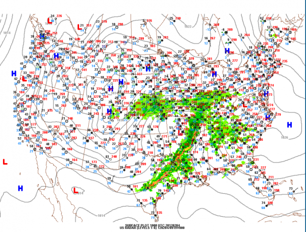
MORE SHOWERS, SOME STORMS AHEAD: Showers lifted across Alabama yesterday afternoon and evening as an upper disturbance moved northeastward. There are more disturbances where that one came from. A warm front also moved northeastward across the area overnight. We find ourselves now squarely in the warm sector of a low pressure system that is going to push eastward across Kentucky today. It will drag a cold front through Alabama tonight. It all spells rain, and a few thunderstorms over the next 24 hours.
THE DETAILS: The devil is in the details they say. And I have adjusted them this morning a little since the system to the west is moving faster than I expected. Showers and storms are draped across Arkansas back into northwestern Louisiana and northeastern Texas early this morning. They will push across Mississippi and into Alabama late this morning or early this afternoon. They won’t be severe, which is good news. The SPC has western Alabama and point west in a 5% chance for an isolated wind damage report, which is extremely low.
Today will be a mostly cloudy and warm day, with a balmy southerly wind and afternoon readings rising into the upper 60s to near 70F. The showers should reach the Alabama border late this morning, around Marion County. I would expect them to reach a Jasper-Tuscaloosa line by mid afternoon and Oneonta to Birmingham by 4-5 p.m or a little earlier.
Before, the main activity arrives, showers will develop across the area. That was already happening on radar early this morning.
This evening, lows will drop into the middle 50s. Frontal passage will occur after midnight from west to east.
FOR YOUR SUNDAY: Expect a few lingering showers Sunday morning as the cold front pushes southeastward. Skies will clear from the west by lunchtime. Cooler air will start filtering in on northwesterly winds, but we should still manage the lower to middle 60s during the afternoon before we head toward the lower 40s Sunday night.
The Internationally Beloved Meteorologist, Brian Peters, will be along with the Weather Xtreme video forecast around 7. We will be watching the weather all day and night, with periodic updates on the showers and storms.
Category: Alabama's Weather


