Kelvin-Helmholtz Waves – Analysis
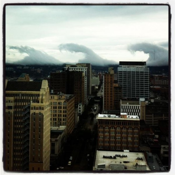
As most of you know, some of the most amazing clouds most of us have ever seen moved across downtown Birmingham on Friday. See James’ main post with more pictures here.
Given that one of the areas we have been studying at UAH the past 5 years is atmospheric waves, these photos were of particular interest to us. Contrary to some comments, these clouds are not government operations or anything weird like that. They are simply caused by Kelvin-Helmholtz (K-H) instability being in the perfect spot at the perfect time.
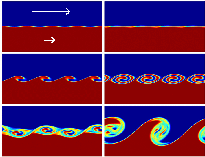
K-H instability occurs when there is very large wind shear (wind changing speed with height), and the air is unstable enough to allow the air in the waves to rise and fall. A computer simulation of K-H waves is shown below.
(Click on picture for animation)
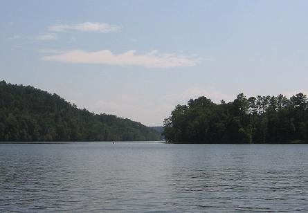
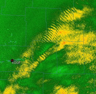
The air in the upper (blue) layer is moving faster than the air in the lower (red) layer, and with enough instability (temperature decreasing with height), these waves form. They happen fairly often, but they are usually either a) high up in the atmosphere and may only be seen in clouds, like the ones I photographed over the Warrior River below, or b) occurring where there is not enough moisture for a cloud to form, so the waves are there but you can’t see them, or c) within a rain area (as shown in the radar picture from Springfield, MO).
Everything worked out just perfectly for the large waves near the ground in BHM on Friday. First of all, as shown by a temperature and wind profile taken by an aircraft landing at the BHM airport at 1701 GMT (11:01 am CST), the temperature decreased quickly with height behind the cold front over a shallow layer (likely due to the cold air rushing in over warm ground), and the wind shear was extreme (a change of 11 mph over 700 feet). The combination of these two numbers provides a Richardson number of 0.12. As long as it is below 0.25, KH waves can occur.
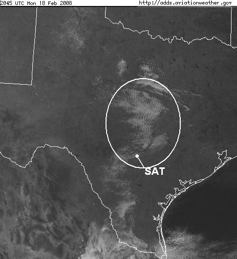
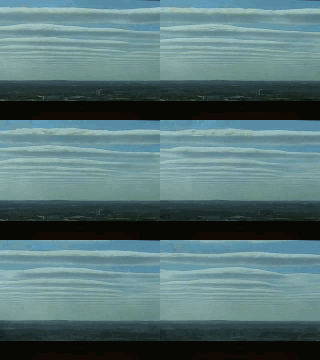
Another example of KH waves is shown below. The satellite picture shows the waves over south-central Texas, while the animation is a time-lapse from some one’s backyard in San Antonio.
Category: Met 101/Weather History


