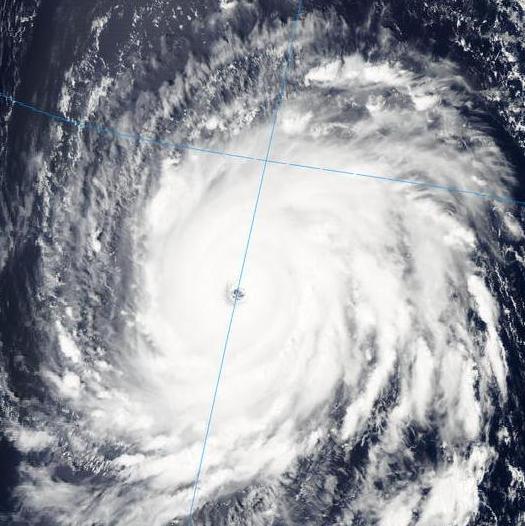
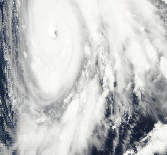
Igor almost Category 5
These pictures are taken from the NASA Terra and Aqua polar-orbiting satellites. Unlike GOES (Geostationary Observational Environmental Satellite), that is at a very high altitude (22,000 miles) and remains over the same location on earth all the time, Terra and Aqua are around 450 miles above the earth, so they circle the planet many times per day, taking pictures every 5 minutes at various angles.
The top picture is a natural-color image from the MODIS radiometer on the Aqua satellite, taken at 1640 GMT (1140 pm CDT), from nearly over the hurricane. The second is a similar image from the Terra satellite, taken from the SE (looking sideways) at 1335 GMT (835 am CDT).
Igor has sustained winds of 150 mph, and could become a category 5 before slow weakening begins later this week. It is still almost 1,000 miles east of the Antilles, and the consensus track has it turning NW, likely not making landfall in the US.
Category: Uncategorized


