Stormy Weekend Wraps Up as Cooler Air Settles In—But What’s Next?
Round two of our multi-day severe weather event wrapped up overnight, and now we turn our attention to the rest of the weekend and the week ahead. The severe weather risk has shifted east, and Alabama is left with lingering gusty winds and cooler air filtering in behind the departing system. Two tornadoes have already been confirmed by survey teams from the NWS Birmingham, including an EF-1 tornado with 90 mph winds in Calera and an EF-2 tornado with 120 mph winds in Winterboro. Survey crews are out today, investigating at least 15 to 17 potential tornado tracks across the region, and more details will emerge in the coming days.
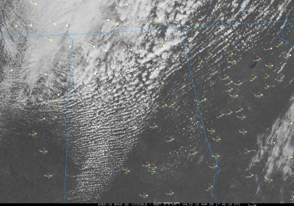
For the rest of today, scattered clouds and gusty northwest winds will continue, with temperatures falling a few degrees this afternoon as cooler air works into the state. A few wraparound showers may develop across northeast Alabama, but most areas will remain dry. Winds will continue to gust between 20-25 mph at times, keeping conditions brisk. By tonight, skies will clear, and temperatures will drop into the mid-to-upper 30s across central Alabama, with a few pockets of low 30s in the colder spots of north Alabama.
Monday will be a noticeably cooler but dry day with plenty of sunshine. High temperatures will range from the lower 60s in north Alabama to the mid-60s across central and southern parts of the state. Winds will remain out of the northwest at 5-10 mph, but without the strong gusts seen today. The clear skies and calm winds Monday night will allow temperatures to fall into the 30s again, leading to the possibility of patchy frost in sheltered areas, particularly across the Tennessee Valley.
The warming trend begins on Tuesday, with highs returning to the lower 70s under mostly sunny skies. By Wednesday, the next system will begin to approach from the west, increasing cloud cover and bringing the potential for scattered showers and a few thunderstorms by late Wednesday into early Thursday. At this time, instability looks limited, which should keep the severe threat low, but we’ll continue to monitor trends in case conditions change.
Looking ahead into next weekend and week two, temperatures will remain near seasonal averages, with highs in the 60s and 70s. Another system may bring rain by next weekend, but long-range signals suggest a quieter pattern overall compared to the active stretch we’ve just experienced. However, with spring now in full swing, the potential for additional severe weather episodes remains on the table as we move deeper into March and April.
Category: Alabama's Weather, ALL POSTS, Social Media
About the Author (Author Profile)
Bill Murray is the President of The Weather Factory. He is the site's official weather historian and a weekend forecaster. He also anchors the site's severe weather coverage. Bill Murray is the proud holder of National Weather Association Digital Seal #0001 @wxhistorianSubscribe
If you enjoyed this article, subscribe to receive more just like it.


