Some Thunder Possible Along & South of US-80 & I-85 Tonight & Tomorrow Morning
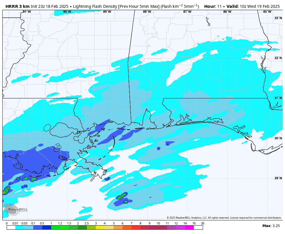
Latest HRRR Run of Lightning Flash Density.
While the northern half of the state will be watching to see who gets rain, who gets a wintry mix, and who gets snow, the southern half will put up with rain and the potential of some thunder. The good news is that there is no severe weather threat for locations along and south of the I-85 and US-80 corridors.
Latest model runs show that there is the potential for some thunder and lightning across the southern half of the state, especially along the Gulf Coast and up into the wire grass region. It may be a little breezy as well, but winds will be well below advisory criteria.
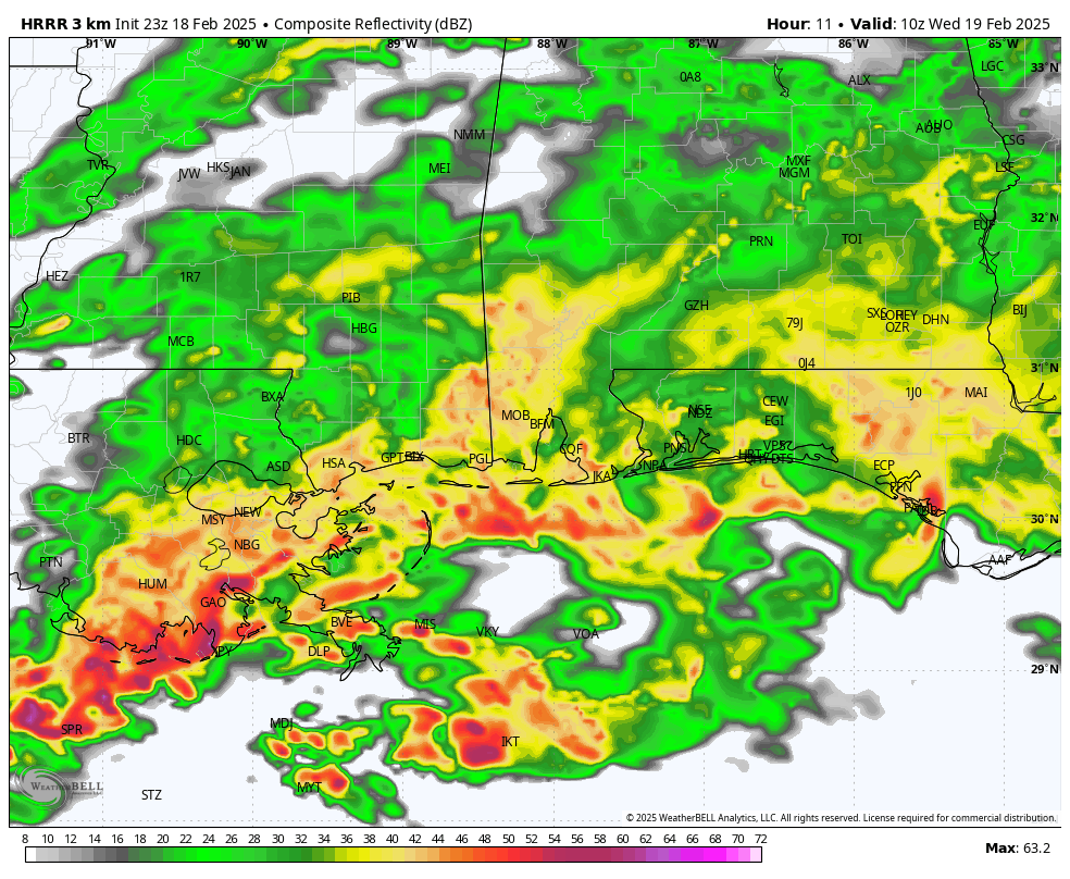
Latest HRRR run showing projected radar returns at 4AM CST.
Also, while rainfall could be moderate to heavy at times, the heaviest rainfall will take place out over the gulf well away from the Gulf Coast. Plus, that is where any instability and more intense lightning will be located. There is a marginal risk of severe storms for the extreme southern portions of Louisiana and back into southeastern Texas, but even there, the threat is very low.
So, you may hear some thunder during the overnight hours, the good news is that this is the type that you can rest easy and sleep through it.
Category: Alabama's Weather, ALL POSTS, Social Media
About the Author (Author Profile)
Scott Martin is an operational meteorologist, professional graphic artist, musician, husband, and father. Not only is Scott a member of the National Weather Association, but he is also the Central Alabama Chapter of the NWA president. Scott is also the co-founder of Racecast Weather, which provides forecasts for many racing series across the USA. He also supplies forecasts for the BassMaster Elite Series events including the BassMaster Classic.Subscribe
If you enjoyed this article, subscribe to receive more just like it.


