Sunny & Cold at Midday; Sunday’s Severe Risk Expands
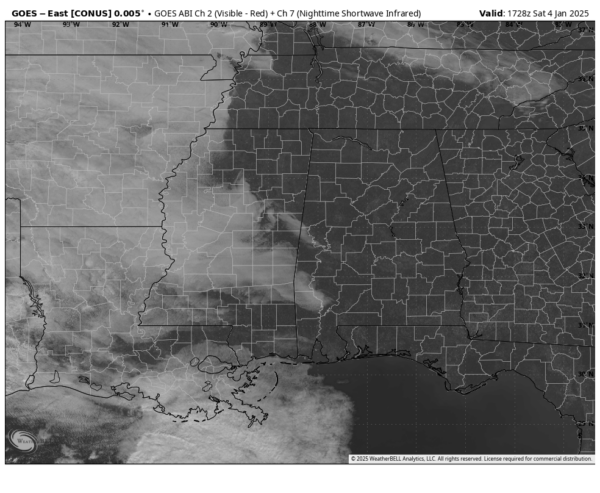
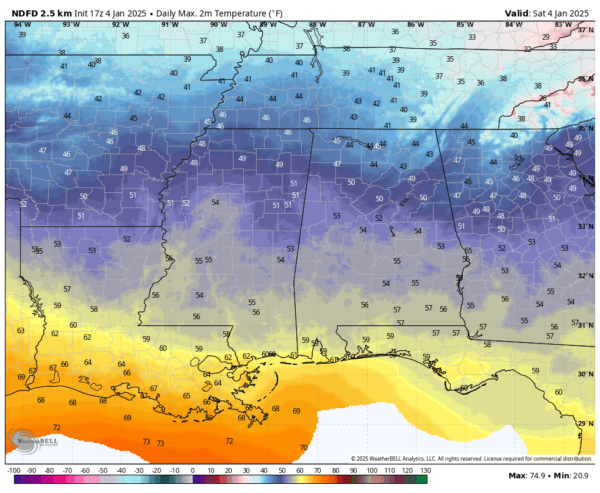
As we are approaching the midday hour in Alabama, skies are sunny across the state except for a few clouds creeping in from Mississippi into the southwestern portions. Even with all of this sunshine, temperatures are still rather chilly (for Alabama). As of 11AM, we are seeing readings in the throughout the 40s, with Montgomery being the only spot out of the 40s at 50 degrees. Gadsden is the cool spot at 41 degrees. Birmingham was sitting at 44 degrees.
There will be a little spread in the temperatures today as highs will top out in the lower 40s in the northeast to the lower 60s in the southwest around the Alabama Gulf Coast. For tonight, clouds will start to filter in from the west, and we could see a few scattered showers over the western parts of the state just before midnight. Those rain chances will eventually spread eastward, but the higher chances will remain over the west and northwestern parts of the state. Lows will range from the upper 20s to the lower 50s from northeast to southwest.
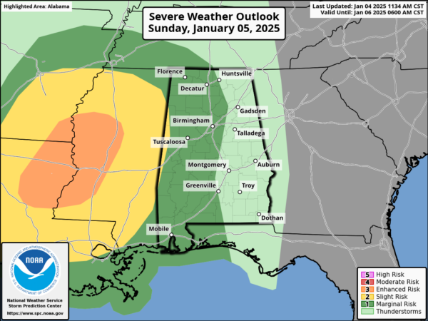
The latest update from the Storm Prediction Center shows that the Marginal Risk has expanded eastward to include a little more of the central parts of the state, including locations west of a line from Huntsville to Snead to Autaugaville to Andalusia. The Slight Risk that covers much of Mississippi, Louisiana, and Arkansas, stretches into Alabama to include locations west of a line from just west of Sulligent to Aliceville to York. Timing for the threat of severe storms will be during the evening and late night hours on Sunday, with tornadoes and damaging winds being the threats. We will also have to watch for gusty winds outside of thunderstorms with the tightening pressure gradient, potentially over 35 mph. Highs will be in the upper 40s to the lower 70s from northeast to southwest.
As far as rainfall, we’ll have a chance for showers throughout the day, and maybe some thunder, but storms will move in just ahead of a strong cold front, that will bring the risk of severe storms and much colder temperatures on Monday, as highs will most likely take place at 12:01AM Monday morning.
For the winter weather threat, let’s get through Sunday’s severe weather threat before we can really start focusing on the potential for some snow, sleet, and freezing rain that will affect us on Friday.
Category: Alabama's Weather, ALL POSTS, Severe Weather, Social Media


