Comprehensive Review of Alabama Tornado outbreak From 12/28/24 Tornado Event
The NWS offices in Birmingham, Huntsville, and Mobile have been working tirelessly over the last few days and have put together detailed summaries on each of the tornadoes that occurred in Alabama from this past Saturdays severe weather event. In total, 24 tornadoes have been confirmed to have touched down.
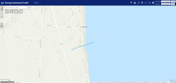
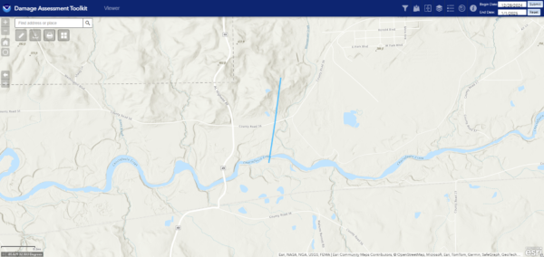
In Mobile county, the NWS confirmed that a brief EF0 tornado did in fact touch down. This tornado was rated EF0 with max winds of 80mph. The tornado had a path width of only 30 yards (VERY small for a tornado), and was on the ground for less than a quarter mile before moving into Mobile Bay. Some minor structural damage to a homes patio was noted along with some tree damage along its very brief path.
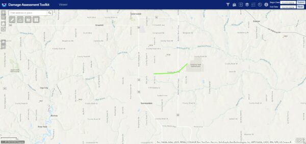
In Summerdale, another tornado was confirmed, this one being rated EF1. The tornado had winds of 95mph, a path width of 50 yards, and a path length of 2.38 miles. This tornado caused both tree and structural damage, with a house suffering significant damage to its roof, and a shed having its roof destroyed. Other structures along its path also received damage, and some vehicles were shifted due to the tornadoes winds. Also, the tornado threw a large metal roof over a house landing in the front yard.
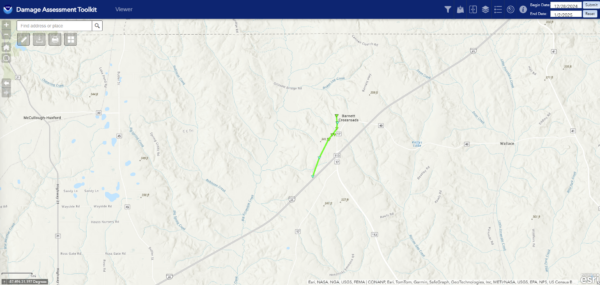
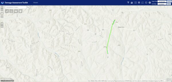
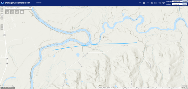
Near the town of Barnett Crossroads, the NWS in Mobile confirmed that an EF1 tornado did touch down. This tornado had winds of 100mph, a path length of 2.22 miles, and a path width of 50 yards. The tornado resulted in primarily tree damage, with several large hardwood trees being snapped in several locations. Of an interesting note, the NWS mentions that the path may have extended further than what is on the map, and they may extend it after reviewing high resolution satellite data in the coming days.
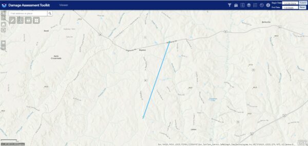
Just east of Repton, an EF0 tornado was confirmed with winds of 85mph, a path width of 30 yards, and path length of 5.19 miles. Tree damage was noted along its path, but additional studies will need to be done due to large portions of the path being inaccessible. The NWS will use high resolution satellite data to do this.
In the community of Burt Corn, another tornado was confirmed, this one being rated EF1. The tornado had winds of 100mph, was on the ground for 1.99 miles, and was 150 yards wide. The bulk of the damage was to trees, however, a church was shifted slightly off its foundation.
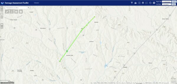
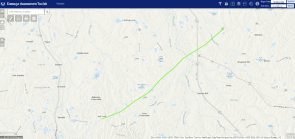
To the east of the last tornado, another, larger, and longer tracked EF1 was confirmed. This tornado had winds of 100mph, but was 300 yards wide and was on the ground for 6.25 miles. When it first touched down, it uprooted trees and flipped a trailer. Further along the path, the tornado snapped dozens of trees and metal roofing off of several log cabins was peeled back and a chapel was shifted off its foundation. The tornado continued NE snapping and uprooting additional trees before lifting.
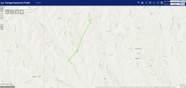
The last tornado to be confirmed by the NWS in Mobile was near Mt. Pisgah road. This tornado also was a very high end EF1, just 1mph shy of EF2 strength. It had winds of 110mph, a path width of 200 yards, and a path length of 2.55 miles. Along its path, the tornado caused significant tree damage with numerous trees being uprooted and snapped.
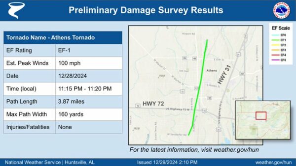
The NWS in Huntsville surveyed damage in Athens from storms Saturday night and determined that the damage was the result of an EF1 tornado. This tornado had winds of 100mph, a path width of 160 yards, and was on the ground for a little under 4 miles. The tornado resulted in significant damage to Downtown Athens, with many downed trees and roofs being blown off structures. Some of the most significant damage occurred on north Monroe Street where several structures suffered significant damage to their roofs and exterior walls.
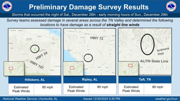
In the towns of Hillsboro, Ripley, and Taft, the NWS in Huntsville surveyed areas of damage that was determined to be straight line winds rather than tornadoes. All 3 of these areas had winds of 80-85mph, with mainly tree damage noted. However, some instances of structural damage were also noted, including to several small farm structures and outbuildings.
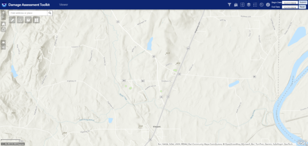
In the town of Vincent, the NWS in Birmingham surveyed damage that was determined to be straight line winds instead of a tornado. Winds were estimated to be between 70-80mph, with an area of damage found between highway 81 and state route 231 on the north side of town. There was a mix of tree and minor structural damage in the area.
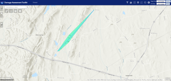
The NWS in Birmingham surveyed damage in the town of Harpersville as a result of severe storms on Saturday and determined that a brief EF0 tornado occurred just north of highway 280. The tornado had winds of 80mph, traveled a little over a mile and a half, and had a path width of 175 yards. Damage to at least 4 farm structures was noted at a horse farm, and there were numerous trees with varying levels of damage along the path.
An additional survey was conducted in Lowndes county and it was determined that an EF0 tornado occurred. The tornado had winds of 85mph, a path length of 1.71 miles, and a path width of 100 yards. Along the tornadoes path, numerous trees and powerlines were snapped and uprooted and substantial branch damage also occurred. A few mobile homes were also damaged, including one that was rolled over, and a large shed lost some of its roofing.
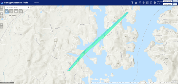
In southern St. Clair county, another tornado was confirmed by the NWS in Birmingham Saturday night. This tornado was an EF0 with 85mph winds. It was approximately 150 yards wide and traveled about 2.26 miles. The tornado caused many trees to fall onto homes near Shady Brook lane, and continued to down trees along its path before lifting near Treasure Island road.
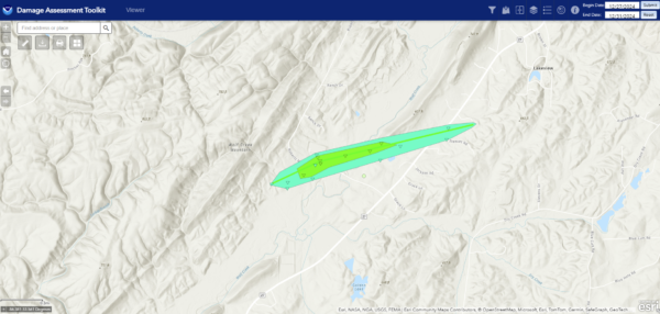
Near Lakeview, a high end EF1 tornado occurred and resulted in tree and structural damage along its path. The tornado had winds estimated at 105mph, a path width of 325 yards, and traveled about 1.52 miles before dissipating. The most significant damage occurred on Roberts Mill Pond road where a farm was struck. The tornado damaged at least 5 buildings at the farm, and debris was thrown more than 300 yards downstream. Many trees were also snapped and uprooted along its path.
In Lowndes county near Hargrove road, damage was surveyed by NWS and has been confirmed to be a very brief EF0 tornado. This tornado had winds of 70mph, a path width of 75 yards, and a path length of less than ¾ of a mile. Damage was minimal, with a lot of trees being blown down, as well as numerous large branches.
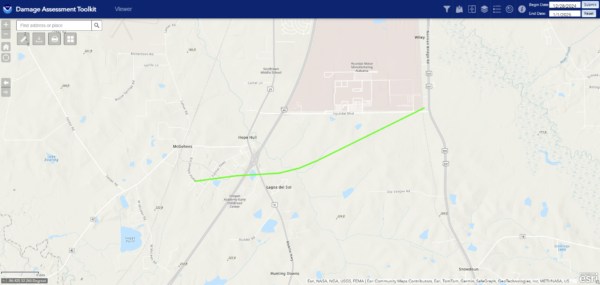
Another tornado was confirmed in Montgomery County, in the town of Hope Hull. This tornado was rated EF1 with max winds of 95mph, a path width of 250 yards, and path length of a little under 4 miles. There was fairly significant structural damage reported with this tornado, including several warehouses with roof loss, siding damage, and at least one wall collapse. In addition, several semi-trailers were flipped, and a few businesses suffered additional roof and siding damage. In addition to the structural damage, several trees were uprooted, and some minor damage was reported on the Hyundai campus.
Also in Montgomery County, a longer track and high end EF1 tornado occurred with maximum winds of around 100 mph. This tornado had a path width of 500 yards and length of just over 10 miles. Most of the damage consisted of uprooted, snapped, and topped trees along the path. However, there was some damage to the roof of a BBQ business where numerous additional trees were snapped. An outbuilding was also damaged before the tornado lifted along Old Carter Hill Road.
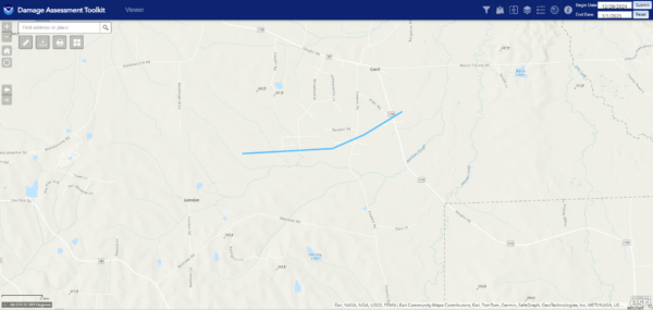
The NWS in Birmingham also confirmed a tornado in the town of Cecil. This tornado was rated EF0 with maximum winds of 80mph. The tornado had a width of 100 yards and was on the ground for 2.5 miles. Along its path, the tornado resulted in substantial tree damage, with a concentrated area of tree damage noted along Flowers road and Vaughn road. The tornado dissipated just east of there.
In Macon county, an EF0 tornado was confirmed to have touched down. This tornado was on the low end of the EF0 range, with winds of 75mph. It was 175 yards wide and traveled a little under 2 miles. No structural damage occured with this tornado, but many tree limbs and several trees were blown down or snapped along its path. In addition, a TDS was noted on radar with this tornado.
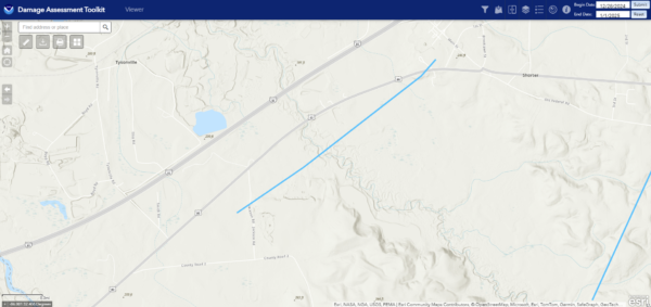
Another EF0 tornado was confirmed slightly east of the previous one in Macon county. This tornado also had winds of 75mph, but had a path width of 200 yards and a path length of more than 5.5 miles. There was also no known structural damage with this tornado, and the damage consisted only of downed trees and tree limbs. The most concentrated area of tree damage occurred just north of Deborah Cannon Wolfe school.
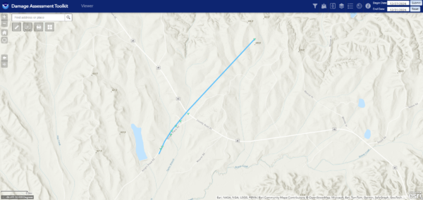
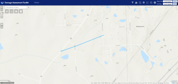
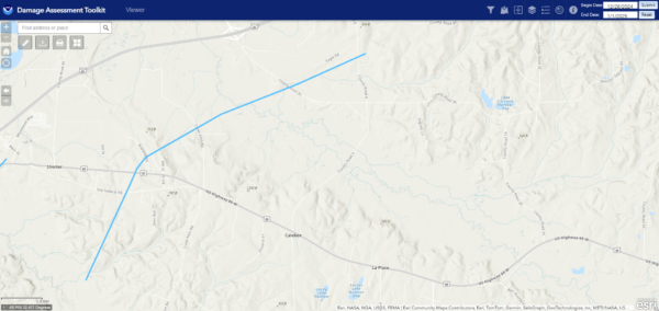
A third EF0 tornado was confirmed to have touched down in Macon county. This one paralleled county road 8 along its entire path. It had winds of 85mph, a path width of 75 yards, and a path length of 2.17 miles. Along its path, the tornado snapped and uprooted trees and broke branches in a wooded area near the railroad tracks. A TDS was also visible with this tornado on radar.
The final tornado to occur in Macon county was very weak, also rated EF0, but only with winds of 60mph. The tornado had a path width of only 50 yards and was on the ground for less than a mile. This tornado downed some small trees and tree branches, but no significant damage occured.
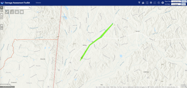
In Lamar county, a high end EF1 tornado occured near Vernon. This tornado had winds of 105mph, a path width of 300 yards, and a path length of a little over 5 miles. This tornado resulted in significant damage, including a roof torn off a house on Hopper Hollow road, and dozens of trees being both snapped and uprooted in the area. The tornado also produced tree damage further along its path as it moved NE before dissipating near Watson Creek Road.
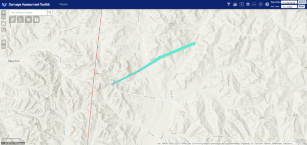
Another tornado, this time EF0 in strength, occured on Byson road in Lamar county. This tornado had winds of 65mph, a path width of 100 yards, and path length of 1.45 miles. Along its path, the tornado resulted in only minor tree damage, with snapped tree limbs and several snapped and uprooted trees. 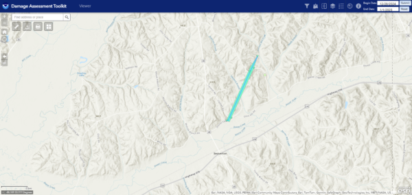
A third and final tornado occured in the area of Beaverton also in Lamar county. This tornado was also EF0 in intensity, with max winds of around 70mph. The tornado was on the ground for about 1.63 miles, with a path width of 125 yards. Some structural damage did occur with this tornado, where a house had some shingle damage. Prior to dissipating, the tornado snapped a cluster of trees near Olive Hill road.
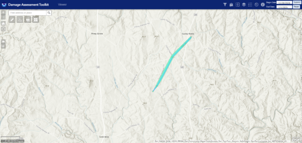
There was also a tornado in Marion County, near Sunny Home. This was an EF0 tornado with winds estimated at 75mph. It had a path width of 150 yards and was on the ground for barely over 2 miles. This tornado did in fact cause damage to several homes, including a mobile home that lost some roofing, and a home that lost shingles. A trampoline was also lofted and thrown into the woods. The tornado also caused a significant amount of tree damage near county road 46.
I know that was a lot of information, but it is my hope that by having it all compiled into one location, that it all makes sense and is better for you, our viewers. We here at AlabamaWX wish you all a very happy New Year!
Category: Alabama's Weather, ALL POSTS, Social Media

