EXPIRED – Severe T-Storm Warning for Parts of Mobile County Until 7:30PM
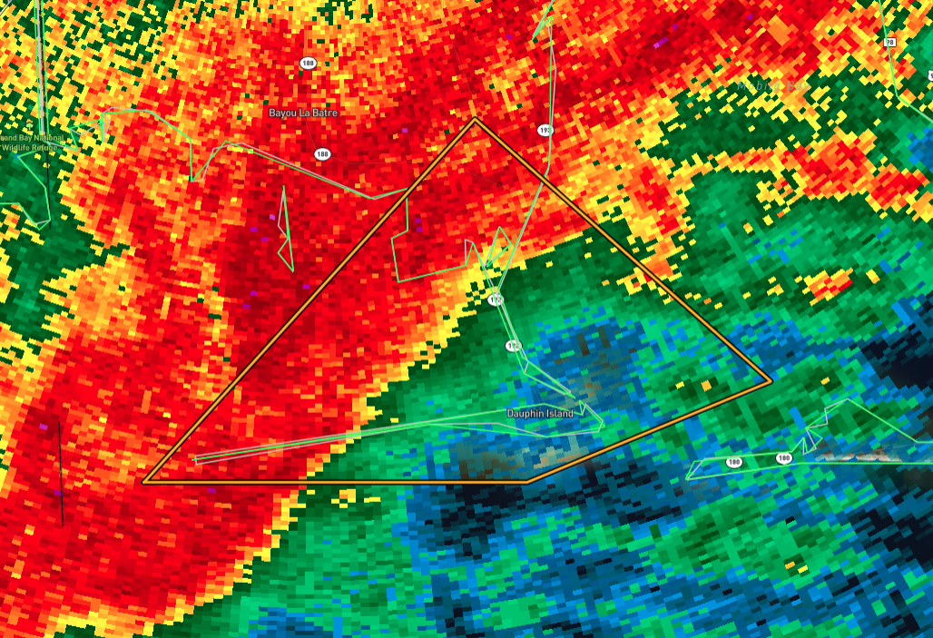
A Severe Thunderstorm Warning has been issued for south-central Mobile County, including the areas of Alabama Port and Dauphin Island, until 7:30 PM CST. This storm is located about 10 miles southwest of Dauphin Island and is moving northeast at 15 miles per hour.
Hazard Details:
Wind Gusts: Expect winds up to 60 mph, which could cause damage to roofs, siding, and trees.
Source: Radar has confirmed the severity of this storm.
Precautions to Take:
Tornado Threat: While this is a severe thunderstorm warning, remember that tornadoes can develop quickly within these storms. If you spot a tornado, take shelter immediately in a basement or a small, central room on the lowest floor of a sturdy building.
Protective Actions: Move to an interior room away from windows and doors. Avoid staying in vehicles, mobile homes, or other structures that aren’t sturdy.
Locations impacted include Dauphin Island and Alabama Port. If you’re in these areas, take action now to protect yourself and your property. Stay tuned for updates, and we’ll keep you informed as this situation develops.
Category: Alabama's Weather, ALL POSTS, Severe Weather, Social Media
About the Author (Author Profile)
Scott Martin is an operational meteorologist, professional graphic artist, musician, husband, and father. Not only is Scott a member of the National Weather Association, but he is also the Central Alabama Chapter of the NWA president. Scott is also the co-founder of Racecast Weather, which provides forecasts for many racing series across the USA. He also supplies forecasts for the BassMaster Elite Series events including the BassMaster Classic.Subscribe
If you enjoyed this article, subscribe to receive more just like it.


