
A Nice & Beautiful Saturday as We Cross Over into the Afternoon
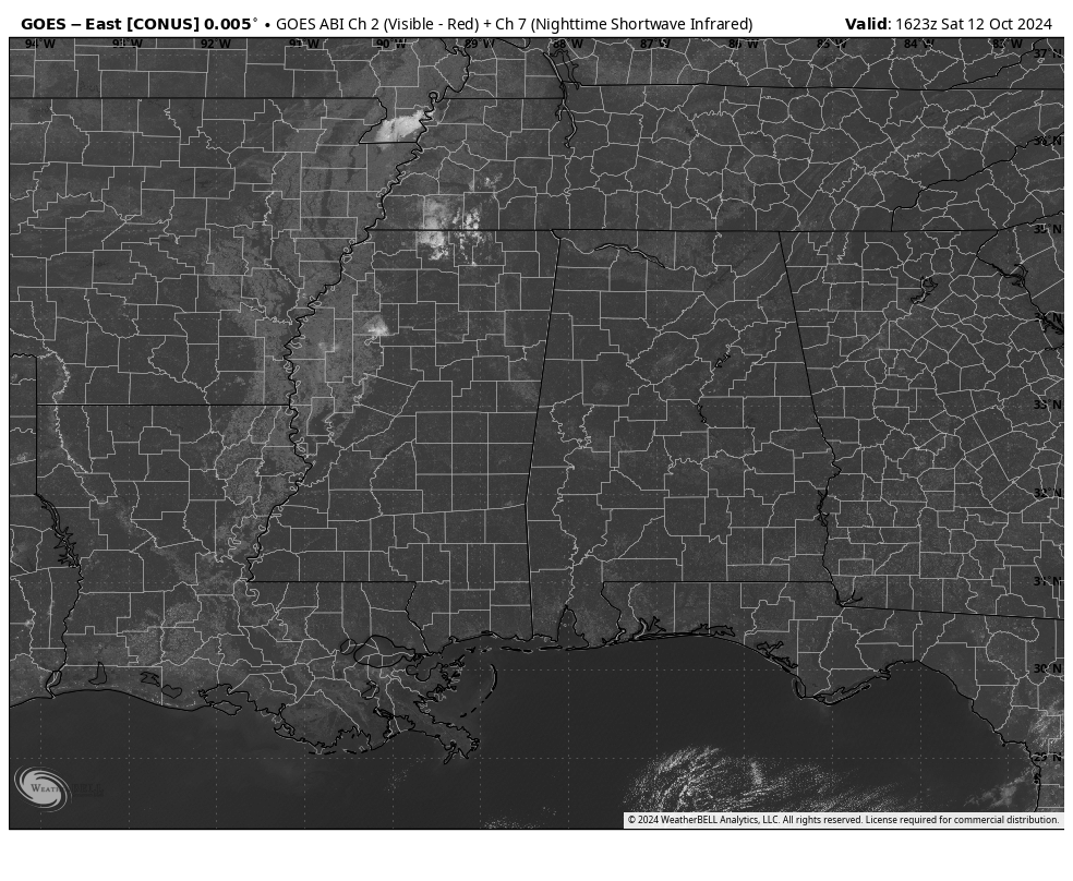
After temperatures starting off in the upper 40s to the lower 50s this morning, the morning has warmed quite nicely as we are seeing readings in the lower to mid 70s. Demopolis and the Shelby County Airport were tied as the hot spots at 75. Anniston and Gadsden were the cool spots at 71. Birmingham was right in the middle at 73. Those temperatures will continue to get warmer underneath full sunshine, with highs reaching the lower to mid 80s. No issues at all for the college games taking place across the state. Other than some patchy fog developing in the valleys, skies will be clear tonight and through the overnight hours. Lows will settle in the lower to mid 50s for most.
Summer will try to make its last stand on Sunday, as a cold front approaching the area will pull some warmer and slightly more humid air up from the south. Temperatures will be hot for mid-October, reaching the mid to upper 80s. Skies will be sunny for the most part, but a few clouds may invade late. The front will eventually push into the area tonight and into the overnight hours, and a few sprinkles may be possible over the Tennessee Valley region of North Alabama and the extreme northern parts of Central Alabama. Lows will be in the mid 50s to the lower 60s.
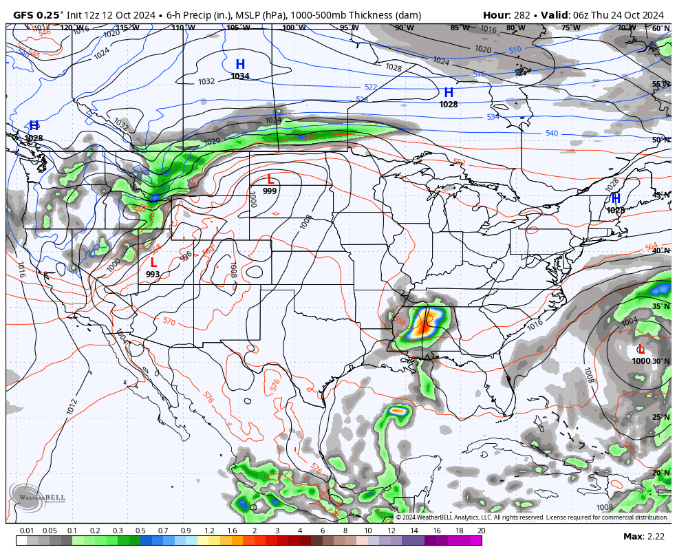
As far as looking out long range for any weather changes, we already know about the big cooldown that will happen starting on Monday, with frost advisories possible on Wednesday and Thursday mornings. As far as our next chance of precipitation, other than the very small chance on Sunday night into Monday morning, no rain is expected for a good while. The GFS shows the next rain chance moving in late on Wednesday, October 23rd, but as we know, that’s out there in what we call “Voodoo Land.” We’ll have to wait until about seven days out from that date to see if it remains possible. The good news is that no tropical systems are showing up on the long-range models to impact the Atlantic or Gulf Coasts of the United States.
Now speaking of the tropics…
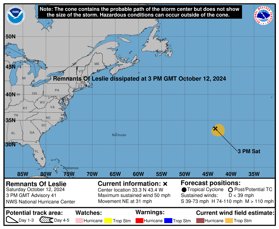
We can now say goodbye to Leslie, as she has degenerated into a trough, even though she continues to have winds around 50 mph. It’s been nice knowing you, but we’re glad to see you go!
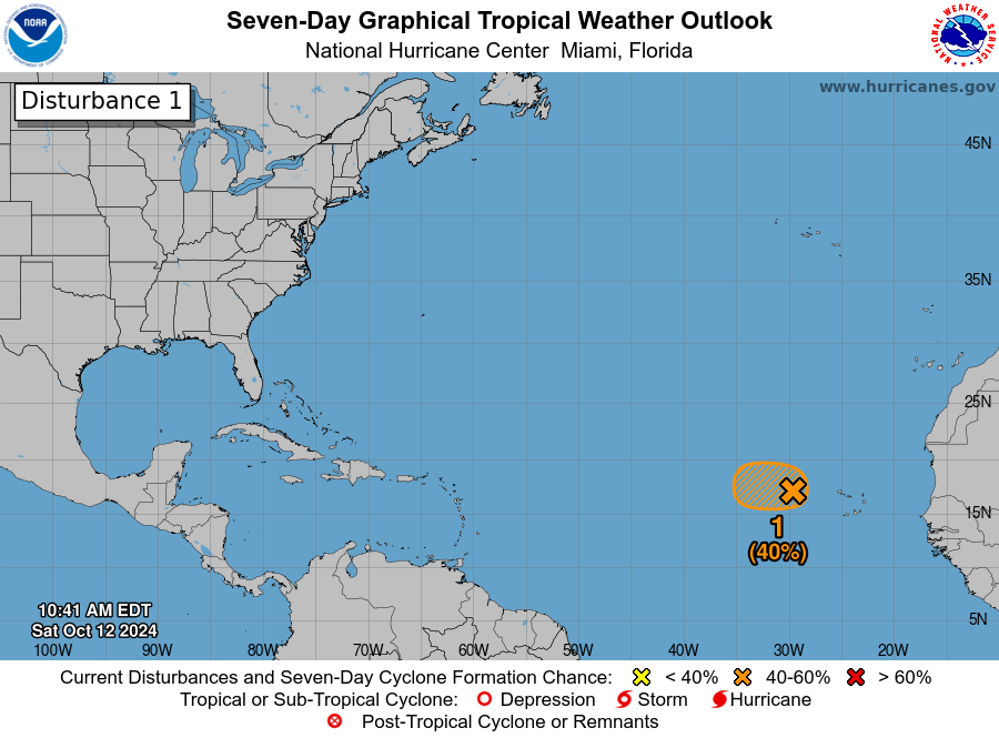
Also, we have Invest 94L, which is a low-pressure area a few hundred miles west of the Cabo Verde Islands is showing signs of becoming better organized this morning. Although the surrounding thunderstorms aren’t very well-defined, there’s still a chance that it could develop into a short-lived tropical depression today as it moves westward. However, conditions are expected to become less favorable for further development later on, and no significant strengthening is anticipated as it continues westward through next week. There’s a medium 40% chance of formation both in the next 48 hours and over the next seven days.
Category: Alabama's Weather, ALL POSTS, Social Media, Tropical
About the Author (Author Profile)
Scott Martin is an operational meteorologist, professional graphic artist, musician, husband, and father. Not only is Scott a member of the National Weather Association, but he is also the Central Alabama Chapter of the NWA president. Scott is also the co-founder of Racecast Weather, which provides forecasts for many racing series across the USA. He also supplies forecasts for the BassMaster Elite Series events including the BassMaster Classic.Subscribe
If you enjoyed this article, subscribe to receive more just like it.


