
7pm CDT Milton Update: Pressure Has Dropped to 902 mb
Going to start this update with this closeup of Milton’s eye. Truly remarkable and frightening at the same time!
what a view pic.twitter.com/1k7iXmIOtV
— Dakota Smith (@weatherdak) October 8, 2024
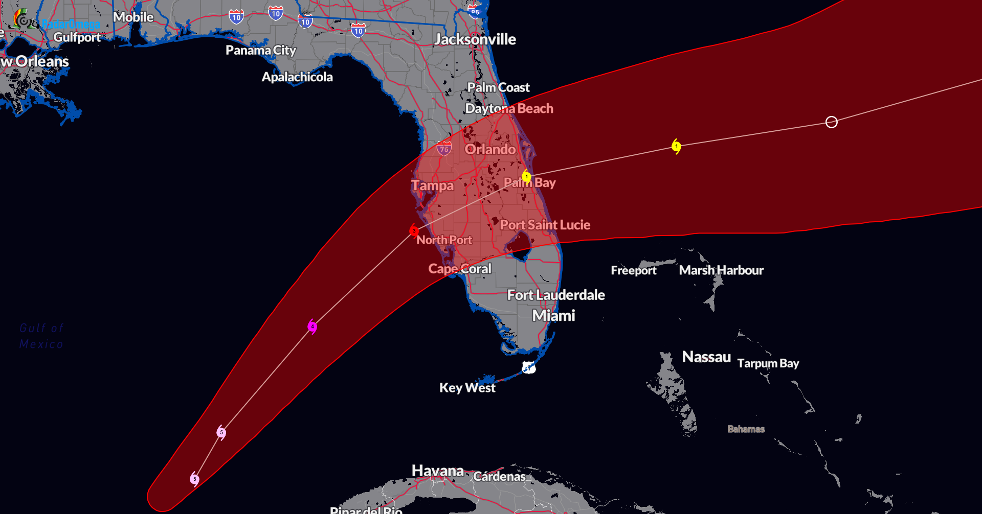
Here is the latest on Milton with the NHC Intermediate advisory as of 7pm CDT.
SUMMARY OF 700 PM CDT…0000 UTC…INFORMATION
———————————————-
LOCATION…23.0N 86.9W
ABOUT 280 MI…450 KM WSW OF THE DRY TORTUGAS
ABOUT 440 MI…710 KM SW OF TAMPA FLORIDA
MAXIMUM SUSTAINED WINDS…165 MPH…270 KM/H
PRESENT MOVEMENT…ENE OR 70 DEGREES AT 10 MPH…17 KM/H
MINIMUM CENTRAL PRESSURE…902 MB…26.64 INCHES
No changes with watches and warnings
The hurricane hunters have denoted a lower pressure, now down to 902 mb! They are also reporting winds at 165 mph at the center. The only hurricane with a lower pressure this late in the calendar year in the Atlantic on record is Wilma (hat tip Philip Klotzbach).
Milton is moving to the ENE at 10 mph and a shift to a NE direction is expected tonight and at a quicker pace. A landfall along the west-central FL Coast is still anticipated sometime Wednesday night. This is a dangerous storm and will be a major hurricane at landfall.
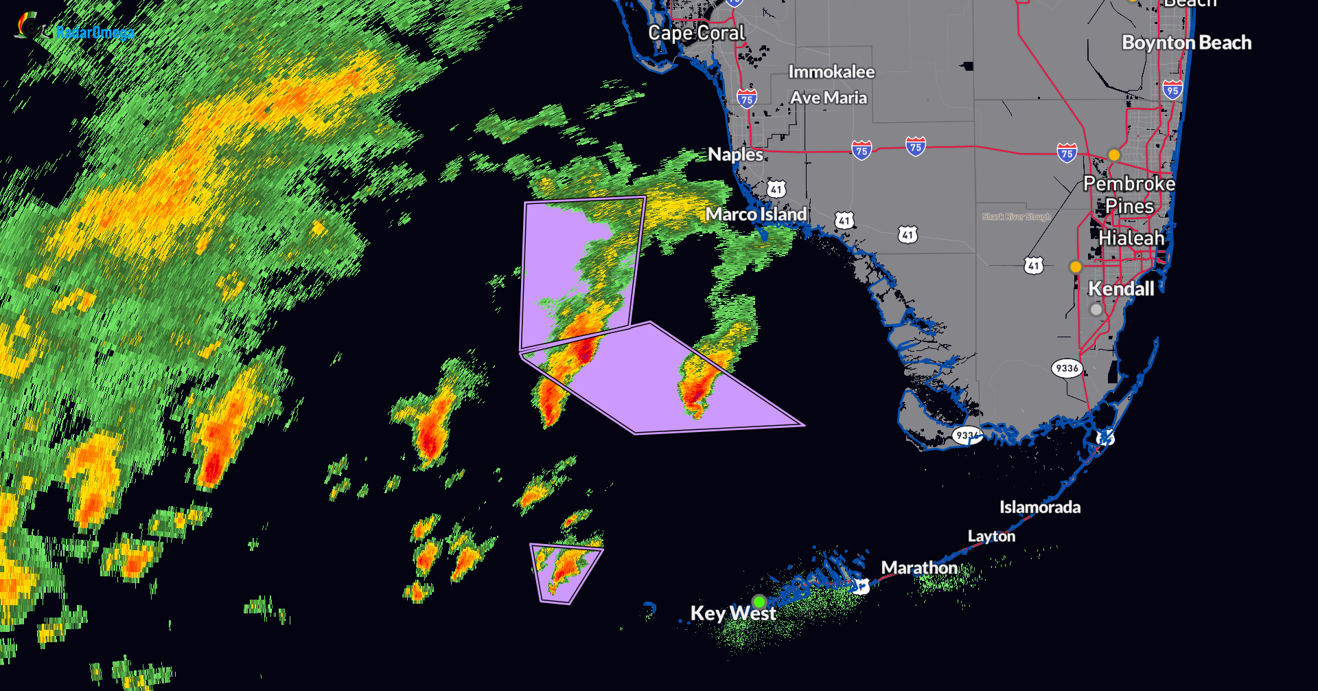
At this hour, there are several supercells offshore the far SW Florida coast. An increasing risk of tornadoes in place late tonight through Wednesday and Wed night with Milton.
Category: ALL POSTS, Social Media, Tropical
About the Author (Author Profile)
Owner of Tornado Talk. Radio broadcast meteorologist with The Storm Report. WeatherBrains Panelist. B.S. Meteorology from Penn State University.Subscribe
If you enjoyed this article, subscribe to receive more just like it.


