Hurricane Helene: Current Satellite and Radar Images; Tornado Watches Issued For FL, GA, SC
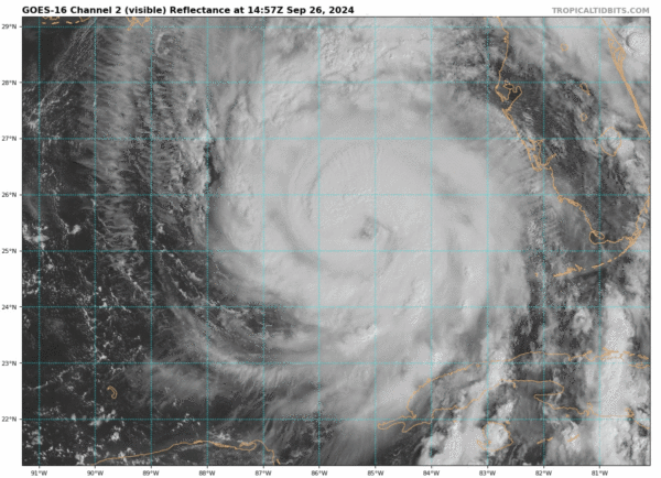
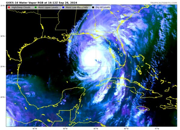
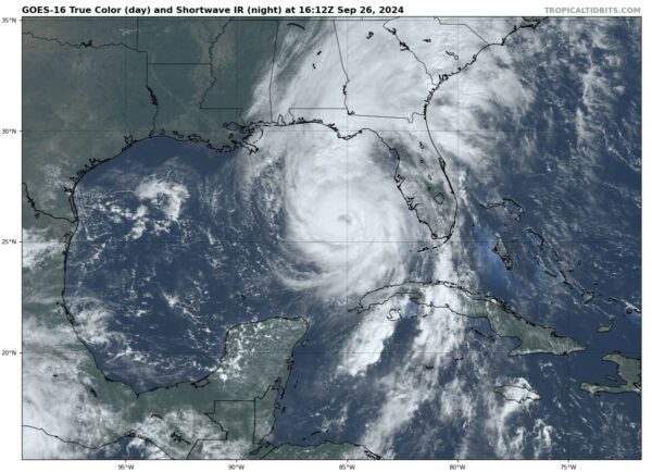
Over the last hour or so, Helene has put on quite the show on both satellite and radar imagery.
On satellite, there is a clear indication of heavy convection occurring all around the storm. Also, the entire flow of the storm appears to be very moist. If this continues, it will unfortunately allow for very heavy rainfall after the storm makes landfall. Here is a look at a few different satellite images:
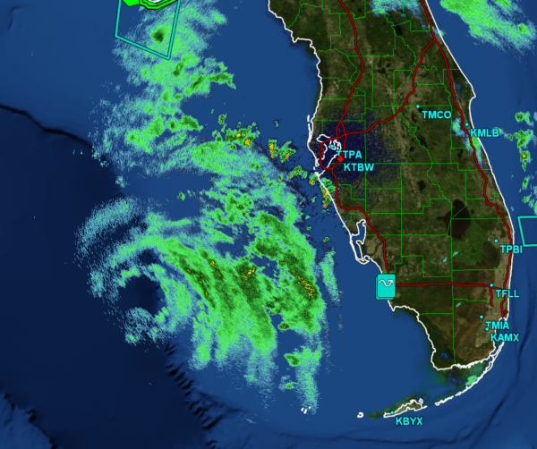
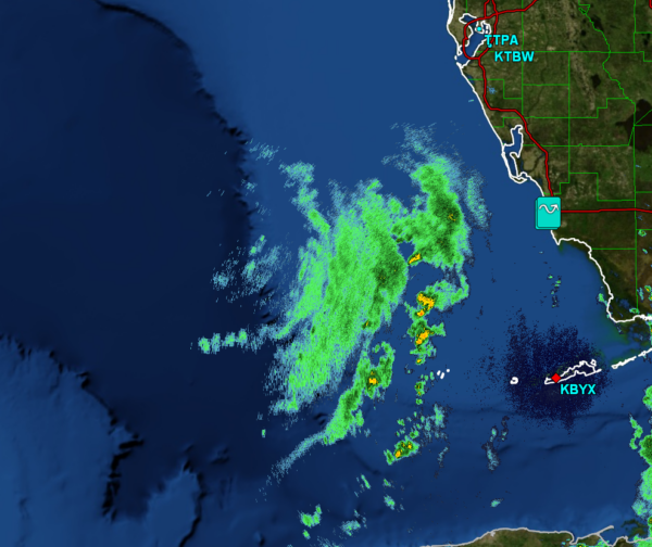
Helene has also started to make its appearance on different radar scans:
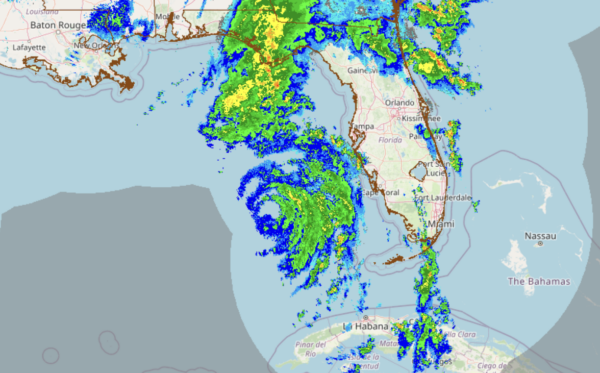
Composite Reflectivity from the NSSL MRMS
Reflectivity from the Tampa Radar Site
Reflectivity from the Key West Radar Site
There have been numerous tornado warnings already issued this morning in Florida and Georgia, and so far there has been one confirmed sighting of a water spout near Carrabelle, FL.
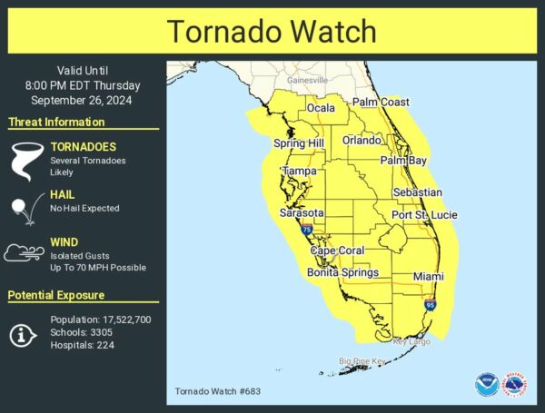
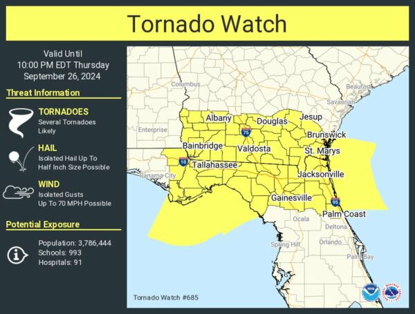
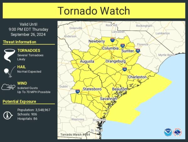
There are three tornado watches currently in effect, spanning most of Florida and parts of Georgia and South Carolina. Here are the current watches:
Category: ALL POSTS, Social Media, Tropical


