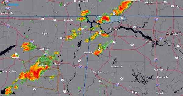
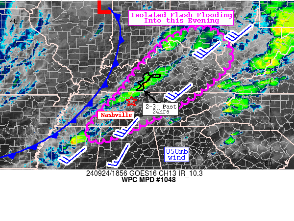
235pm CDT Radar Update and WPC Mesoscale Precipitation Discussion.
Scattered thunderstorms are starting to pop along a cold front. There is a marginal risk of severe storms across parts of Northern Alabama, with the main risk damaging wind gusts. In addition, we have chances for very heavy rain that could lead to isolated flooding. Most of the storms are bottled up in far NW Alabama. A Special Weather Statement is up for parts of Lauderdale County until 315pm CDT for the potential of 40 mph winds. This storm is about 10 miles SE of Walnut Grove. Storms that are building across parts of MS, west of Tupelo have reached severe limits.
The Weather Prediction Center has produced a discussion talking about the heavy rain threat. These storms have the potential of producing a quick 1.5-2.5 inches of rain. There is plenty of moisture and instability to work with to produce heavy storms. The flooding risk should stay isolated.
Category: Alabama's Weather, ALL POSTS, Severe Weather, Social Media


