Tropics Update: Hurricane Hunters Gathering Important Data
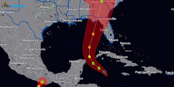
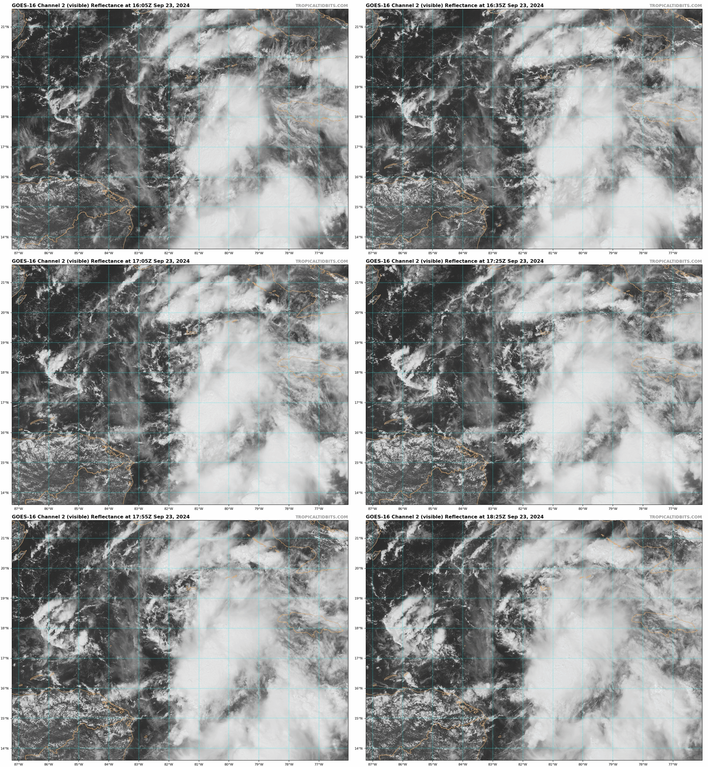
Here is the latest update on Potential Tropical Cyclone Nine.
Stats from the 1pm CDT Advisory:
LOCATION…17.9N 81.9W
ABOUT 110 MI…175 KM SSW OF GRAND CAYMAN
ABOUT 340 MI…545 KM SE OF THE WESTERN TIP OF CUBA
MAXIMUM SUSTAINED WINDS…30 MPH…45 KM/H
PRESENT MOVEMENT…N OR 350 DEGREES AT 6 MPH…9 KM/H
MINIMUM CENTRAL PRESSURE…1004 MB…29.65 INCHES
No Changes with the Watches and Warnings.
There will be a larger update at 4pm CDT and we will cover that completely here. Just a few thoughts:
- There is a huge concern for quick intensification with this system. We could have a major hurricane off the coastal areas of the Florida Big Bend region Thursday morning.
- Hurricane hunter data will be vital in being able to hone in more on a path. The forecast cone from NHC is large. A nudge to the east or west will have big impacts on who sees the largest wind, surge, flooding, etc. Hurricanes are more than just the center. Widespread impacts will hit portions of the Florida coast and further inland.
- Folks need to prepare now for the worse case scenario and please heed directions from local officials.
Snagged the following posts from Mike’s Weather Page. A great follow for tropical coverage. These are the latest model positions as of Thursday morning.
Another round of models and same outcome. Latest 12z Hurricane models here on https://t.co/3cvwpvWgRA. 899mb/910mb/918mb/929mb. This is about as bad as it gets. Live tonight 9pm ET with @KevinGuthrieFL director of @FLSERT FDEM. https://t.co/Hk3pbO84Yf pic.twitter.com/dfE5fUDEp1
— Mike’s Weather Page (@tropicalupdate) September 23, 2024
Category: ALL POSTS, Social Media, Tropical


