Potential Tropical Cyclone Nine Advisory 1: Advisories Issued for Parts of Mexico and Cuba; Could Become a Hurricane Wednesday
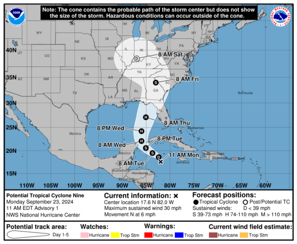
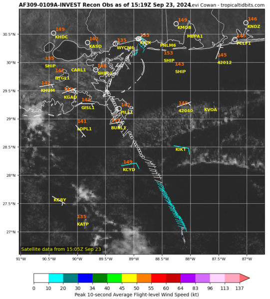
After watching the model runs for the past several days, we now have our first advisory from the NHC on the potential tropical cyclone. Folks, there is no reason at this point that we can see that this won’t strengthen to become a hurricane. The NHC is predicting that as well and it has the potential of becoming a major hurricane when it gets to the NE Gulf Coast area on Thursday. There is a lot to process with this update. The main message: Please prepare now for a major hurricane especially along the Florida Gulf Coast. Heavy rain, surge, coastal flooding, a tornado threat….all of this possible along and east of the center. To help with the forecast, our wonderful Hurricane Hunters are pushed away from the tarmac! They will keep us updated so the forecast can be fine-tuned as we move through the next several days.
TEAL71 heading out for what will presumably be Helene in the near future pic.twitter.com/UWr2wPBquE
— Tropical Cowboy of Danger (@FlynonymousWX) September 23, 2024
SUMMARY OF 1100 AM EDT…1500 UTC…INFORMATION
———————————————–
LOCATION…17.6N 82.0W
ABOUT 130 MI…205 KM SSW OF GRAND CAYMAN
ABOUT 350 MI…565 KM SSE OF THE WESTERN TIP OF CUBA
MAXIMUM SUSTAINED WINDS…30 MPH…45 KM/H
PRESENT MOVEMENT…N OR 350 DEGREES AT 6 MPH…9 KM/H
MINIMUM CENTRAL PRESSURE…1004 MB…29.65 INCHES
SUMMARY OF WATCHES AND WARNINGS IN EFFECT:
A Hurricane Watch is in effect for…
* Cabo Catoche to Tulum, Mexico
* Cuban province of Pinar del Rio
A Tropical Storm Warning is in effect for…
* Rio Lagartos to Tulum, Mexico
* Cuban provinces of Artemisa, and Pinar del Rio, and the Isle of
Youth
A Tropical Storm Warning means that tropical storm conditions are
expected somewhere within the warning area, in this case within
the next 24 to 36 hours.
A Hurricane Watch means that hurricane conditions are possible
within the watch area. A watch is typically issued 48 hours
before the anticipated first occurrence of tropical-storm-force
winds, conditions that make outside preparations difficult or
dangerous.
The developing system is moving to the north around 6 mph. More of a NW movement is forecast through Tuesday Night. It is then forecast to move a bit faster and head north to north-northeast Wednesday and Thursday. Landfall possible late Thursday in the Florida Big Bend area. The western edge of the forecast cone extends to just east of Miramar Beach. The eastern edge of the cone goes to Tampa Bay. Widespread impacts across this entire region.
Intensity forecast: This is still tricky. It does not appear it will take long for us to have a tropical storm (the name is Helene) and then we could have a hurricane by Wednesday. How strong the hurricane gets before making landfall is uncertain. Couple of notes from the discussion:
- Once the system becomes better organized and develops an inner core, the environmental and oceanic conditions appear favorable for significant strengthening.
- The hurricane regional models highlight the potential for strengthening to major hurricane intensity.
- The NHC forecast shows significant strengthening while the system moves across the eastern Gulf of Mexico, with a
95-kt intensity in 72 h. While this forecast is aggressive, it lies near or slightly below the consensus aids, and future adjustments
may be necessary.
This is why the hurricane hunters are so very important. They will give us the real-time information needed to see where this system is, hw strong is it now and what is the environment it is in.
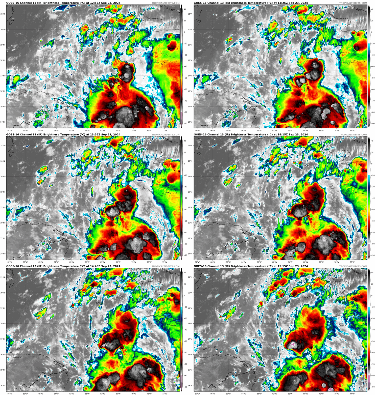
Here is the latest IR Imagery courtesy of Tropical Tidbits:
Category: ALL POSTS, Social Media, Tropical


