Sunday Morning Update: A Hot Sunday, Gulf Coast Eyeing the Tropics
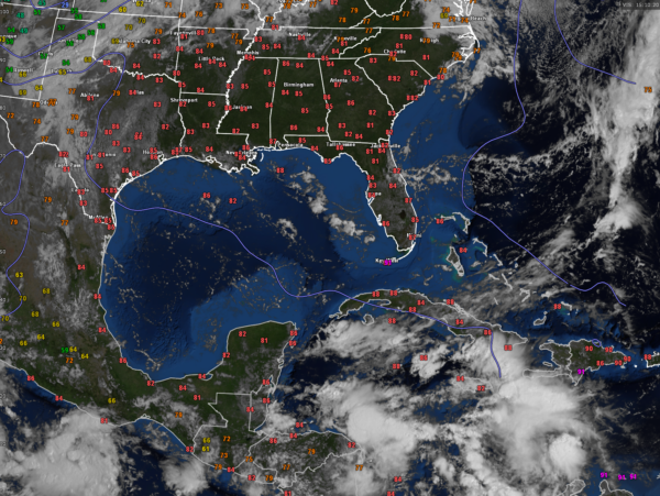
Temperatures are already in the middle 80s across much of Alabama this morning under mostly sunny skies. It is still humid, with dewpoints in the upper 60s and lower 70s.
A weak surface high is over southern Mississippi, Winds over most of Alabama are light out of the west.
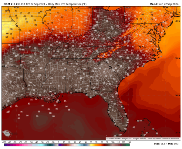
Temperatures this afternoon will look like this:
The heat will continue Monday and Tuesday with highs near and exceeding 90 degrees.
A frontal system will be trying to sag in from the north bring a slight chance of showers over northern sections Tuesday and better chances for Wednesday. Thursday’s weather will be dictated by the track of the system in the Gulf.
The 12z run of the GFS is coming in. It shows a tropical depression in the northwestern Caribbean by tomorrow afternoon. It is out to 72 hours now and shows a 970 millibar intensifying storm moving through the Yucatan Channel between Cancun and western Cuba late Tuesday night.
This system has been the subject of a lot of speculation over the last 72 hours. The NHC has not assigned an Invest # yet, but does have a 70% probability of development over the next 7 days over the northwestern Caribbean and southern Gulf of Mexico.
The general consensus among the global models is that it will be an eastern Gulf storm, affecting areas from the Florida Panhandle through the Florida Big Bend late Thursday into Friday. Intensity estimates range from a strong tropical storm around 60 mph to a 90-100 mph hurricane.
The 06z GFS did come back a little further to the west in the Panhandle, around Walton County. So all interests along the the northern and northeastern Gulf of Mexico from Mississippi through western Florida need to pay attention to forecasts as we get into the early part of the new work week.
I will give you an update on trends in the 12z models a little later.
Category: Alabama's Weather, ALL POSTS, Social Media, Tropical


