4am Francine Update: Short-Term Strengthening Still Possible
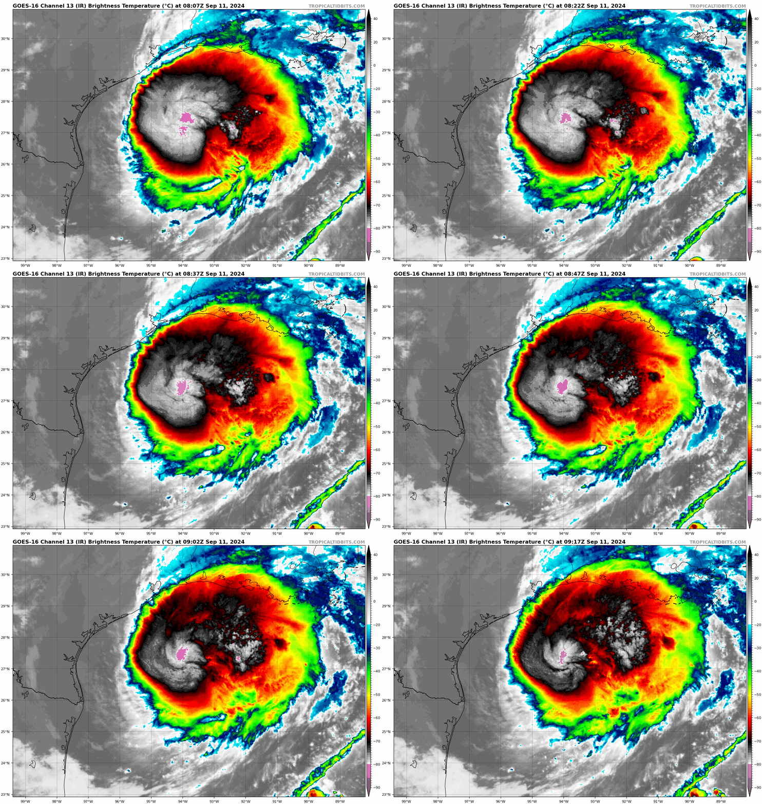
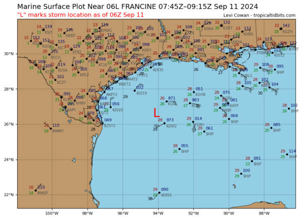
Good morning! Taking a look at a healthy Francine this Wednesday morning situated 225 miles from SW of Morgan City, LA. Increasing impacts for the Gulf Coast including life-threatening surge and hurricane-force winds later today. We will have continuous coverage on this storm and its impacts across the Gulf Coast all day.
Here are the stats from the 4am NHC Update:
LOCATION…27.0N 93.8W
ABOUT 225 MI…360 KM ENE OF MOUTH OF THE RIO GRANDE
ABOUT 245 MI…395 KM SW OF MORGAN CITY LOUISIANA
MAXIMUM SUSTAINED WINDS…90 MPH…150 KM/H
PRESENT MOVEMENT…NE OR 35 DEGREES AT 10 MPH…17 KM/H
MINIMUM CENTRAL PRESSURE…977 MB…28.85 INCHES
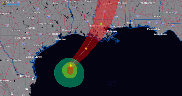
Francine continues to move to the northeast and should pick up pace as the day goes on. Landfall is expected later this afternoon/evening along the Louisiana Coast near St. Mary Parish. A turn to the north across Mississippi will then occur. Max winds are at 90 mph with higher gusts and there is still a small window of opportunity for Francine to strengthen a bit more and that is forecast by the NHC. A 100 mph Cat 2 storm is forecast in the next 12 hours as we approach landfall
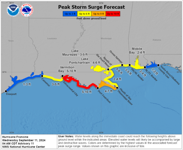
Here is a look at the latest surge forecast. Life-threatening storm surge forecast for the LA coast. Up to 5-10 feet of inundation from Intracoastal City to Port Fourchon and also for Vermilion Bay.


