7am Advisory: Hurricane Hunters Find Lower Pressure with Francine
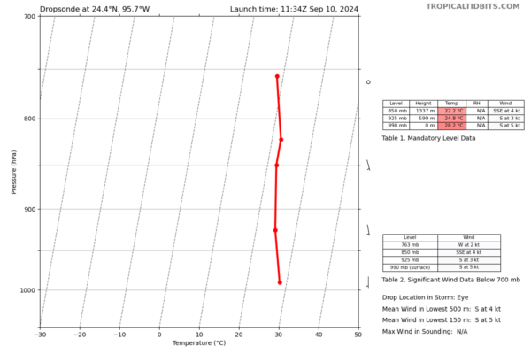
Francine struggled through the overnight hours but there are signs it possibly getting better organized this morning. The latest dropsonde information from the hurricane hunters shows a 2 mb pressure drop and the 7am advisory reflects that. We are down to a pressure of 990 mb. Here are the full stats:
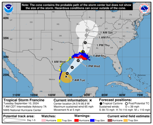
LOCATION…24.5N 95.9W
ABOUT 125 MI…200 KM SE OF MOUTH OF THE RIO GRANDE
ABOUT 395 MI…540 KM SSW OF CAMERON LOUISIANA
MAXIMUM SUSTAINED WINDS…65 MPH…100 KM/H
PRESENT MOVEMENT…N OR 360 DEGREES AT 5 MPH…7 KM/H
MINIMUM CENTRAL PRESSURE…990 MB…29.23 INCHES
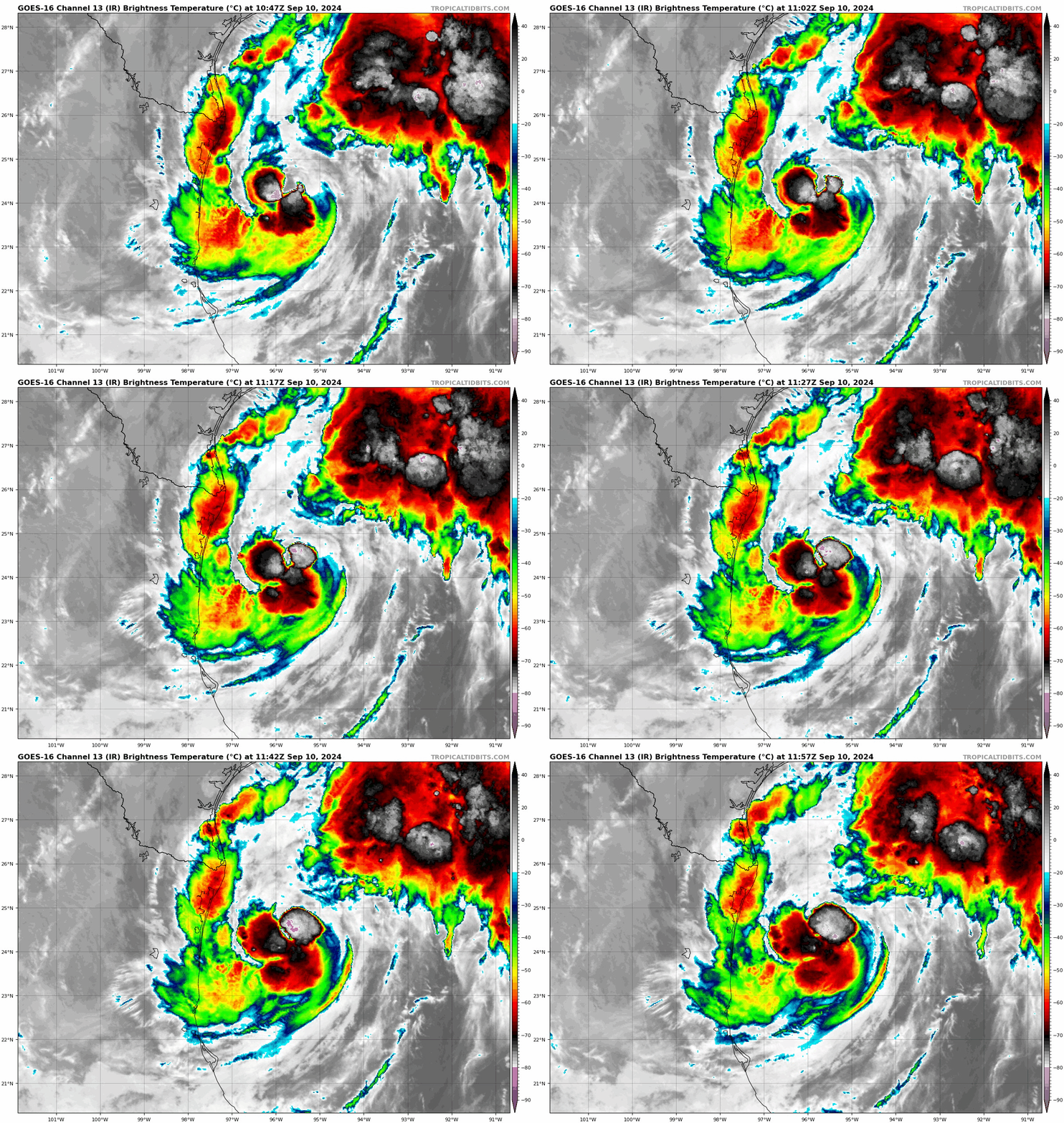
There has also been a flare of convection around the center of Francine.
Maximum sustained winds remain at 65 mph and Francine is still forecast to become a hurricane today. One thing that will help the potential for strengthening is the warm waters the storm is encountering. It is though battling vertical wind shear and that could hinder the storm from getting too strong. The NHC continues to forecast a Cat 2 storm at landfall along the Central Louisiana coastline Wednesday PM.


