Saturday Morning Tropical Update – Three Areas of Interest
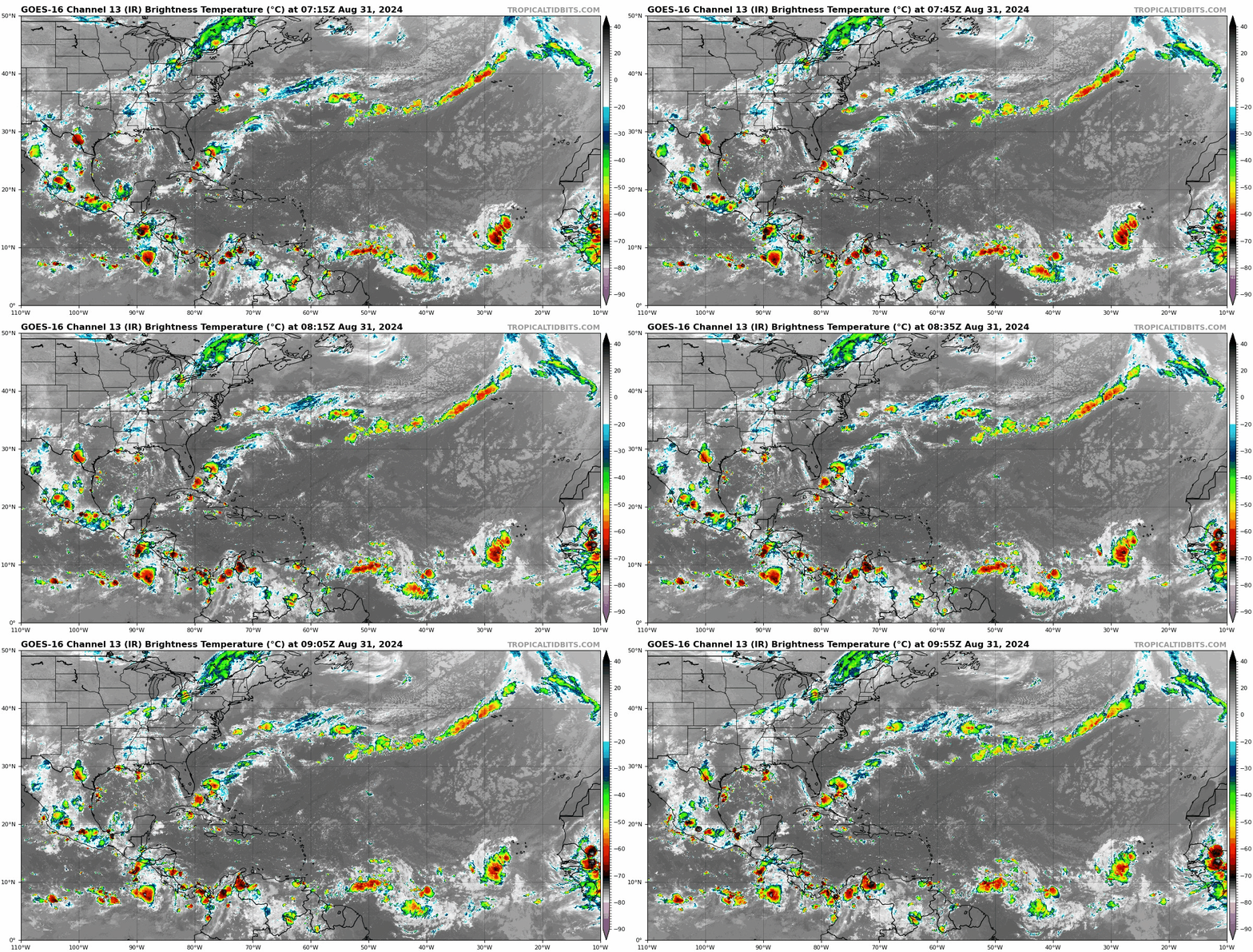
Happy Saturday Everyone! And happy return to college football season! I will be watching the games today but first, I am on weather duty this morning looking at the tropics. Here is a broad view of satellite showing all of the convection across the Atlantic. You can see clearly the flare up of convection with the two Atlantic waves and the swirl of the low in the Gulf.
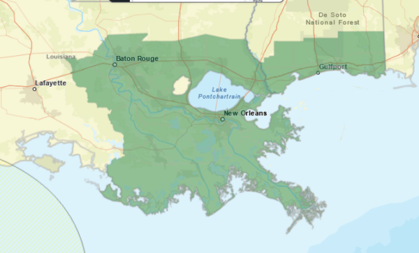
- The low pressure system in the Gulf remains just offshore and is expected to linger here over the next week. If it stays offshore, there is the possibility of development. At this point, whether or not this becomes slightly stronger or remains as a meandering low….the verdict is the same….locally heavy rain and the risk of flash flooding for portions of coastal Louisiana, the upper Texas Coast and into coastal Mississippi. Flash Flood Watches are up from the NWS.
2. The tropical waves a few hundred miles east of the Lesser Antilles has been given a 50% chance of development through 7 days from the NHC. Conditions do seem to support this and a tropical depression could form by the middle part of next week. We continue to monitor ensemble model trends with this system to see where it might go. We don’t go into drama or speculation mode here. We tell you what we know and don’t know at this time. The goal is to make sure you stay weather aware as we are in the midst of peak hurricane season. This system has a long way to go and a lot to go through before having any impact on the US (if it does at all). This is just something to monitor very closely.
3. The other wave is west of the Cabo Verde Islands. The chance for formation over the next 7 days has been lowered to 10%.
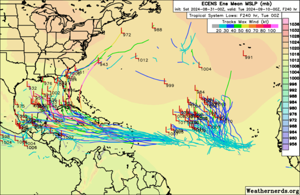
Below is ensemble model output valid September 10. This is not a forecast. This a projection of where waves 2 and 3 COULD be in about 10 days or so.


