1250pm CDT Update: Storms Are Firing…Heat is Building
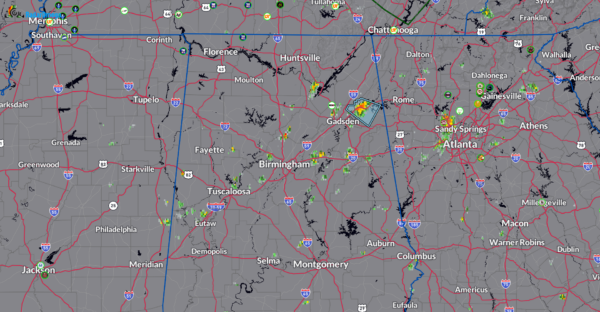
Storms are starting to pop up across portions of Northern and Central Alabama. As of 1250pm CDT, one of the strongest storms has formed in Cherokee County. It was moving southeast around 20 mph west of Centre. Winds to 40 mph a possible and frequent lightning. When thunder roars, go indoors!
This is just the start of what could be an active afternoon. Strong to isolated severe storms are possible. Locally heavier rain as well.
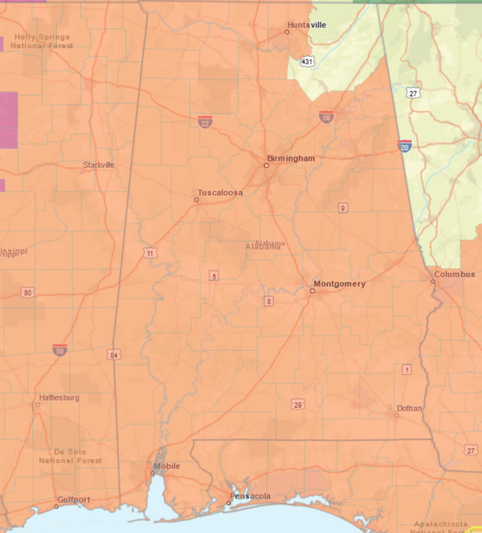
Practically the entire state is under a Heat Advisory at this time. The NWS Birmingham has extended this advisory through Wednesday evening. Head index reading could range from 105-108.
PRECAUTIONARY/PREPAREDNESS ACTIONS… Drink plenty of fluids, stay in an air-conditioned room, stay out of the sun, and check up on relatives and neighbors. Young children and pets should never be left unattended in vehicles under any circumstances. Take extra precautions if you work or spend time outside. When possible, reschedule strenuous activities to early morning or evening. Know the signs and symptoms of heat exhaustion and heat stoke. Wear light weight and loose fitting clothing when possible and drink plenty of water. To reduce risk during outdoor work, the Occupational Safety and Health Administration recommends scheduling frequent rest breaks in shaded or air conditioned environments. Anyone overcome by heat should be moved to a cool and shaded location. Heat stroke is an emergency! Call 9 1 1.
Category: Alabama's Weather, ALL POSTS, Severe Weather


